The places to visit in Nathia Gali are mostly walks and viewpoints rather than sights: St Matthew's Church above the bazaar, the Lalazar wildlife park, the climbs to Miranjani and Mushkpuri, and the Pipeline Track from Dunga Gali to Ayubia a few kilometres down the road. One full day covers the town and one easy walk. Two days lets you add a summit hike without rushing.
Almost everything worth seeing is within about ten kilometres of the bazaar, on or just off the ridge road between Murree and Abbottabad. This guide covers the town, the two summit walks and the neighbouring galis, with a realistic time for each and a frank view on which are worth your day.
| At a glance | |
|---|---|
| Altitude | Roughly 2,400 to 2,500 m |
| Where | Abbottabad district, KP, on the Murree–Abbottabad road |
| From Murree / Abbottabad | About 32 km from each |
| Time needed | 1 day for the town and an easy walk; 2 days to add a summit |
| Easiest walk | Pipeline Track, Dunga Gali to Ayubia: about 4 km, flat |
| Highest point | Miranjani, 2,992 m |
| Best months | May to June and mid-September to November |
How is Nathia Gali laid out?
Nathia Gali sits on the ridge road that joins Murree to Abbottabad, at about the halfway point. The bazaar is on the main road, with hotels strung out along it and up the slope behind. The church and the Lalazar park are above the town, and the Governor House and the start of the Miranjani trail are close to the main road.
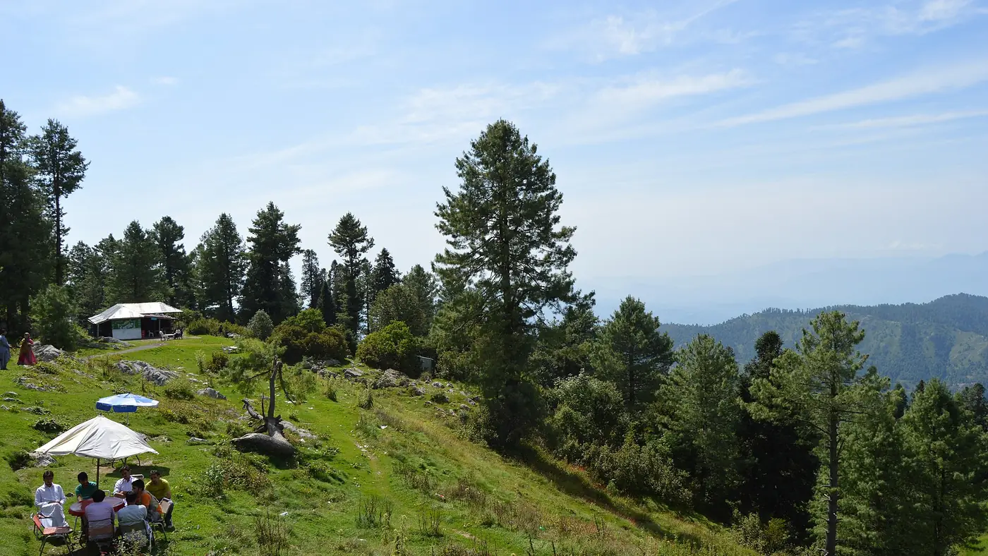
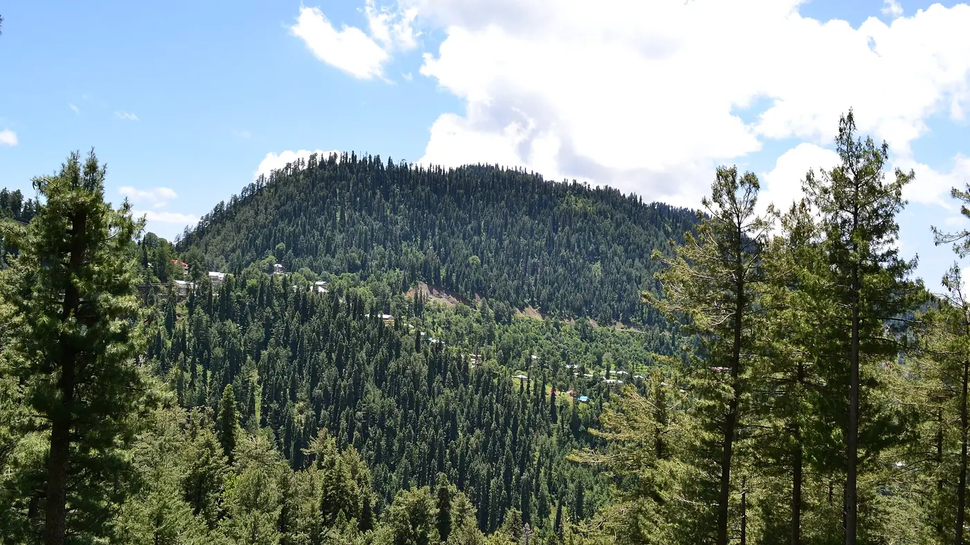
Towards Murree, the road runs 3 km to Dunga Gali, then on past Ayubia and Changla Gali. Towards Abbottabad, it drops past Bara Gali. All of this area sits in or beside Ayubia National Park, a protected forest of deodar, blue pine, silver fir, yew, horse chestnut and oak.
The practical point is traffic. The bazaar road jams easily, and a July 2025 piece in The Friday Times described it as virtually impassable by car even on a weekday evening. Park once, at your hotel if you can, and walk to the places in town. Use the car for Dunga Gali, Ayubia and the galis beyond.
Places to visit in Nathia Gali itself
The bazaar and the main road
The bazaar is a single stretch of shops, tea stalls and small restaurants along the road, busiest in the evening when families come out after a day on the trails. It is where you eat, buy snacks for a walk and pick up a shawl. It is not a sight in itself, and at weekends it is more crowd than charm.
Time needed: an hour, or less if it is busy. A weekday morning is the calmest time.
St Matthew's Church
The small church above the town was completed in 1914, built entirely of cedar wood to a design by Colonel Hope Waddell Kelsall. It dates from the British period, when Nathia Gali was the summer headquarters of the administration in Peshawar.
There has been no regular congregation for many years, and a local Muslim family has looked after the church for three generations. Whether you can go inside depends on the caretaker being there, but the building and the view over the forested hills from its grounds are worth the walk anyway.
Time needed: 30 to 45 minutes, including the short, steep walk from the bazaar.
Lalazar Wildlife Park
Lalazar is a small wildlife park on the hilltop about a kilometre above the town, set up by the provincial wildlife department as part of Ayubia National Park. Its cages and aviary have held animals that are hard to see in the wild, such as the common leopard and the monal pheasant, and there is a small information centre. It works best with children, who get a close look at animals they would never spot on a trail; adults expecting a safari will find enclosures.
Most visitors park on the road up towards the Governor House and walk the last stretch, about half an hour through the forest. Tickets are sold at the gate. The trail beyond Lalazar continues on towards Mushkpuri.
Time needed: one and a half to two hours, including the walk up and back.
The Governor House
The Khyber Pakhtunkhwa Governor's summer residence, built in 1923, stands in its own wooded grounds just off the main road. It is not somewhere to wander into. Since 2019 the provincial government has, at times, allowed the public to book stays there, but for most visitors it is a landmark on the way to the Miranjani trail rather than a place to visit.
The summit walks: Miranjani and Mushkpuri
These are the two highest points in the Galiyat and the two walks most people come for. Both are day hikes on well-used forest trails, and neither needs a guide in clear summer weather.
Miranjani (2,992 m)
Miranjani is the highest peak in the Galiyat. The trail starts near the Governor House and climbs about 600 metres over roughly 5 km, most of it through fir and pine forest, before the last section opens out onto the summit.
Allow two to three hours up and about two hours down. There is no water on the trail, so carry at least a litre and a half each. On a clear day the view runs over the Kashmir hills to the east, and after rain in autumn or winter the far-off snow peaks of the north can appear on the horizon.
Time needed: four to five hours for the round trip, plus a rest at the top.
Mushkpuri (about 2,800 m)
Mushkpuri is the second-highest point in the Galiyat and, for many people, the more rewarding of the two, because its summit is an open, grassy top with views in every direction: back over Murree, down to the Jhelum valley and across into Azad Kashmir.
There are two ways up. From Dunga Gali the trail is shorter and steeper, and most people reach the top in two to three hours. From the Nathia Gali side, via Lalazar, it is a steadier 4 km climb.
Time needed: three and a half to five hours for the round trip from Dunga Gali, and a little longer from Nathia Gali.
If you can only do one, choose Mushkpuri for the open views and the shorter climb, and Miranjani for a quieter, longer walk in the forest.
Nearby galis worth the drive
Dunga Gali and the Pipeline Track
Dunga Gali is 3 km towards Murree, and it is the start of the easiest and best-known walk in the area. The Pipeline Track follows the line of an old water pipeline along the hillside for about 4 km to Ayubia. It is almost flat, shaded by old trees, with tea stalls along the way, and it suits children and older parents. It is not suitable for prams.
Walk it one way in an hour to an hour and a half, then either walk back or arrange for your driver to meet you at the Ayubia end. Start in the morning at weekends, before the track fills up.
Time needed: two to three hours as an out-and-back walk; less one way with a pick-up.
Ayubia
Ayubia takes its name from Field Marshal Ayub Khan, and it was created in 1961 by joining several older hill stations into one resort. For decades its draw was the chairlift, but the lift was shut in October 2021 as unsafe, pending replacement with new equipment, and reports in August 2025 said it was still closed. Check locally before you drive there for it.
Without the chairlift, Ayubia is mainly the far end of the Pipeline Track, with a small bazaar and picnic spots.
Changla Gali
Changla Gali is on the road from Murree, roughly 10 km before Nathia Gali. It is one of the highest of the galis and was the summer home of the army's Northern Command School of Musketry from 1888. Today most people pass through on the drive up, stopping for tea and the view.
Bara Gali
A few kilometres towards Abbottabad, Bara Gali is quieter than Nathia Gali and best known for the summer campus of the University of Peshawar. It is worth the short drive for a calmer walk along the road, especially on a busy weekend.
Thandiani
Thandiani, at about 2,750 metres, is often mentioned alongside Nathia Gali, but it is reached by its own road from Abbottabad, about 37 km to the north-east of the city. Treat it as a separate day out rather than an add-on.
How much time do you need?
| Time in Nathia Gali | What fits |
|---|---|
| Half a day | The bazaar, St Matthew's Church and the walk up to Lalazar |
| One day | The above, plus the Pipeline Track from Dunga Gali |
| Two days | Add Mushkpuri or Miranjani on the second morning |
| Three days | Both summits, the Pipeline Track and a drive to Changla Gali or Bara Gali |
These are days on the ground, not counting the drive, which is about two and a half hours each way from the capital in normal traffic; our guide to the drive from Islamabad to Nathia Gali covers the route and the best times to set off.
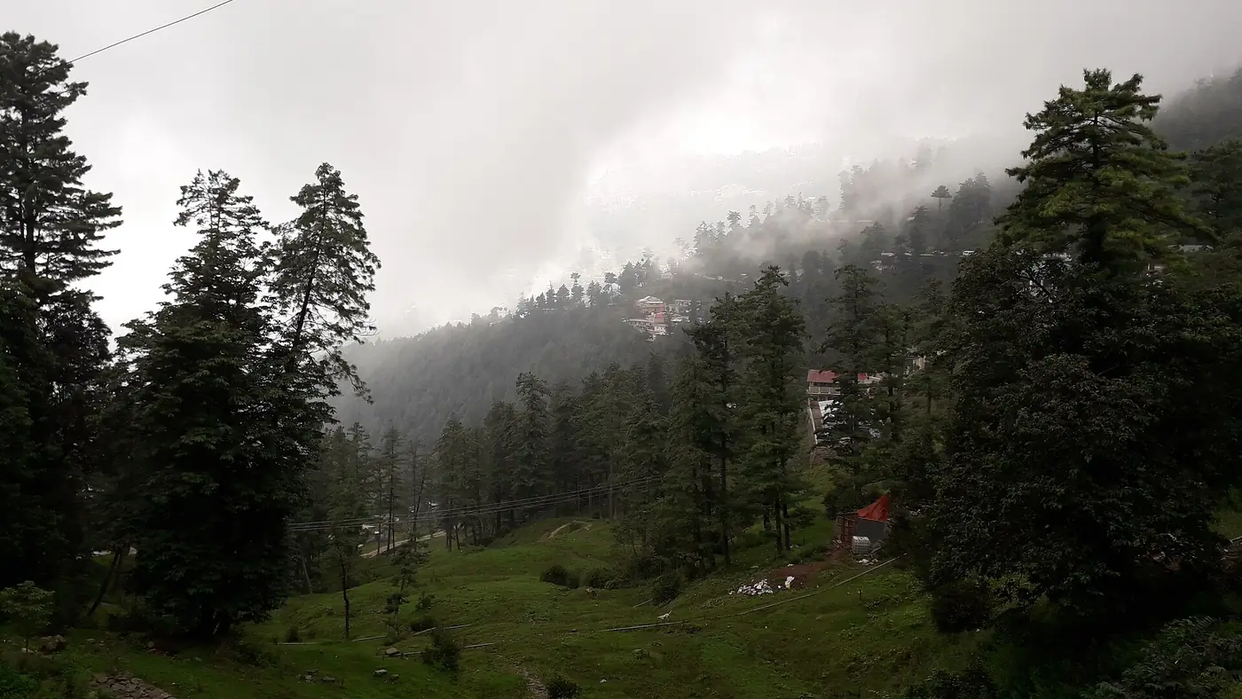
Start any walk in the morning. In summer, cloud often builds on the ridge after midday, and in July and August it frequently turns to rain. Our guide to the best time to visit Nathia Gali explains how each season changes what you can do.
Walking safely around Nathia Gali
The walks here are gentle by mountain standards, but they are in real forest, and a few precautions matter:
- Leopards live in Ayubia National Park. Attacks on people are rare but have happened in the Galiyat and Murree hills over the years. Walk in company, keep children close and in sight, and be off the forest trails before dusk.
- Carry a warm layer and a rain jacket, even in June. The weather changes quickly on the ridge, and it is noticeably colder at 2,900 metres than in the bazaar.
- Take water, especially on Miranjani, where there is none on the way.
- Tell your hotel which trail you are on and when you expect to be back.
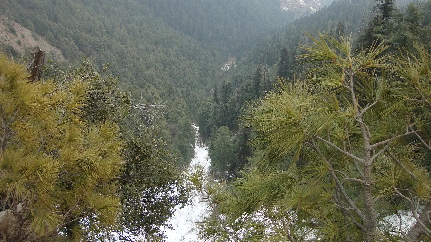
- In winter the trails are under snow and ice. Only go up with proper boots and someone who knows the route, and don't set off when snow is falling.
Our travel guide has more on staying safe and comfortable on hill walks across the north.
Which places are worth it, and which can you skip?
If you have one day, spend it on the Pipeline Track and St Matthew's Church. Between them they give you the forest, the history and the views, with no hard climbing, and they suit almost everyone.
If you are reasonably fit, Mushkpuri is the best half-day in the Galiyat. Choose Miranjani instead if you prefer a longer walk under the trees to open views.
Lalazar is worth it with young children and less so without them. Ayubia is a lesser draw while the chairlift stays closed, and the bazaar is better seen on a weekday morning than squeezed into on a Saturday evening.
Nathia Gali suits families, couples and walkers who want cool air and forest within a few hours of the capital. It does not suit anyone expecting big mountain scenery on the scale of Hunza or Skardu; the pleasure here is quieter. If you are deciding where to base yourself, our guide to hotels in Nathia Gali compares the town with Dunga Gali, and if you would like us to fit the Galiyat into a longer trip, send us your dates and we will draft a route.
Frequently asked questions
What is Nathia Gali famous for?
Cool summers, pine and fir forest, and walks: the Pipeline Track, the climbs to Miranjani and Mushkpuri, and the 1914 cedar-wood St Matthew's Church. It is the best known of the hill stations in the Galiyat, between Murree and Abbottabad.
How many days are enough for Nathia Gali?
One full day covers the town, the church, Lalazar and the Pipeline Track. Two days lets you add a hike to Mushkpuri or Miranjani without rushing.
How far is Dunga Gali from Nathia Gali?
About 3 km, towards Murree. Dunga Gali is the start of the Pipeline Track and the shorter trail up Mushkpuri.
Which is the highest point near Nathia Gali?
Miranjani, at 2,992 metres, is the highest peak in the Galiyat. Its trail starts near the Governor House and takes four to five hours up and back.
Is the Ayubia chairlift open?
It was shut in October 2021 for safety reasons, pending replacement, and was still closed according to reports in August 2025. Ask locally before making the trip for it.
Can you go inside St Matthew's Church?
It depends on the caretaker being there, as the church has no regular congregation. The building and the view from its grounds are worth the short walk even if it is locked.