Marsur Rock is a slab of rock that juts out over a sheer drop high above Skardu, reached by a steep hike from the village of Hussainabad, just east of town. Expect two to four hours up and four to six for the round trip, on an open, unshaded trail with no signs, climbing to well over 3,000 metres. Go between May and October, start by 7 or 8 in the morning, and take a local guide: in May 2026 a trekker who lost his way near the rock was found dead after a five-day search.
From the top you look down on the whole Skardu valley, which is why the rock has become such a popular hike in recent years. This guide covers the drive to the trailhead, the trail itself, what to carry, and how to stay safe on the way and at the edge.
| At a glance | |
|---|---|
| Also spelled | Masroor, Masrur or Mansur Rock |
| Start | Upper Hussainabad, east of Skardu |
| Skardu to trailhead | Roughly 30 minutes by car, the last part on steep switchbacks |
| Time up | 2 to 4 hours, depending on fitness |
| Round trip | 4 to 6 hours with rests |
| Height | Well over 3,000 m, more than a kilometre above Skardu |
| Trail | Steep, rocky, open; no signs and no shade |
| Season | About May to October |
| Guide | Strongly advised |
Where is Marsur Rock?
The rock stands on the mountainside above Hussainabad, a village just outside Skardu on the road east towards Khaplu. You will see the name spelled Marsur, Masroor, Masrur and Mansur; they are the same place.
The hike starts in the upper part of the village. From Skardu, a car takes about half an hour to reach it: a short drive to Hussainabad, then a steep series of switchbacks up through the village. A normal car can manage the road in dry weather, although a jeep is more comfortable on the rougher sections. Your guide or hotel will know where to park.
How hard is the Marsur Rock hike?
It is short but demanding. You climb several hundred metres on steep ground, at an altitude where most people from the plains feel every step, and there is no shade from start to finish.
- Fitness. Anyone who walks regularly and can climb hills at home can do it. If you get out of breath on stairs, this is not the hike to start with.
- Terrain. The first part crosses fields and grass; the rest is a narrow dirt and rock path, steep and loose in places.
- The descent. Coming down is slower and harder on the knees than people expect, and loose gravel makes it slippery.
- Navigation. There are no signs, only the occasional cairn, and the path forks. This is where people go wrong.
The trail, step by step
- Upper Hussainabad. The path leaves the top of the village through fields, past houses and farms. Walk quietly and ask before photographing anyone.
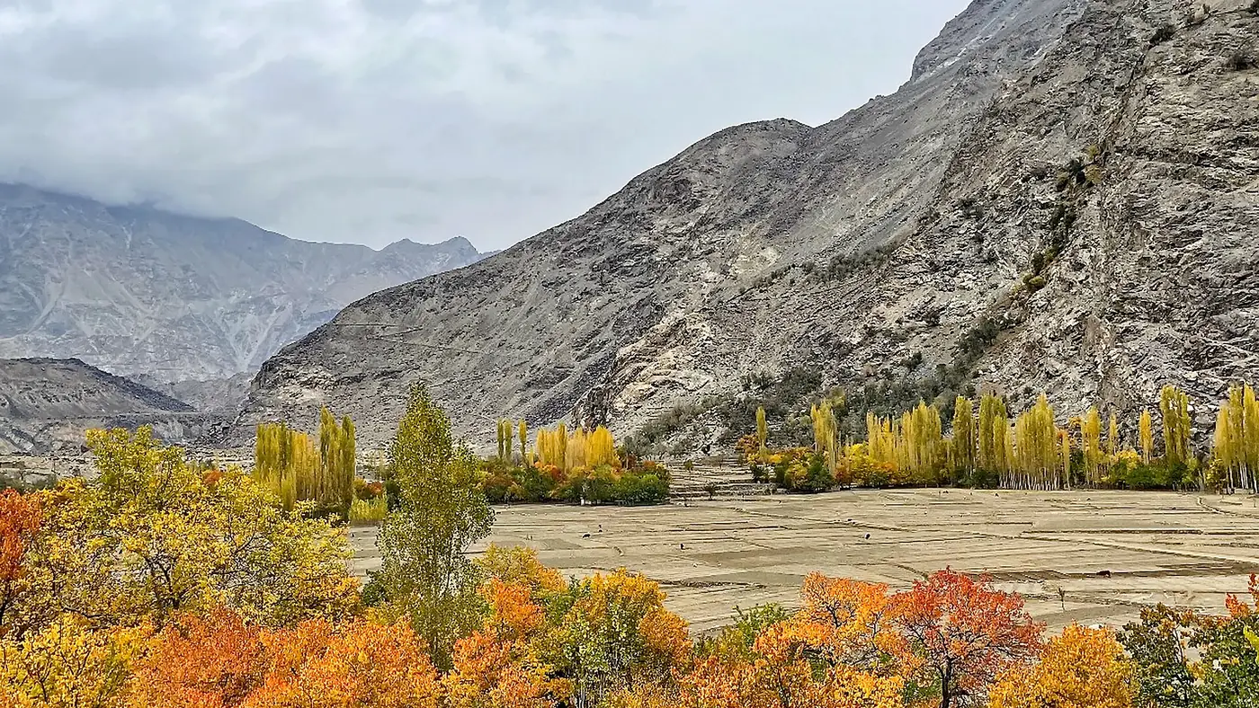
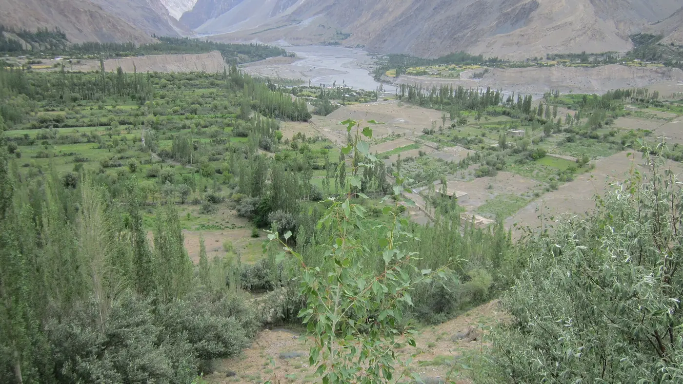
- Up through the green. For the first stretch you climb through grassy slopes and pasture, with streams running through the fields. This is the easiest part of the day.
- The steep, dry section. Above the fields the ground turns rocky and bare, and the path climbs steadily in a long, sustained ascent. Here the trail is faint in places and splits more than once. Stay with your guide.
- The final approach. The path leads out onto the ridge where the rock projects over the drop. Slow down here; the ground near the edge is uneven.
- At the rock. Rest, drink, eat, and take in the valley: the Indus spread across its sandbanks, the town below you, and the mountains on every side.
- The descent. Allow almost as long as the climb. Use poles if you have them, and don't run on the loose sections.
Most fit hikers take two to three hours up; with more rests, or on your first days at altitude, three to four. Set a turn-back time before you start, such as 1 pm, and keep to it whether or not you have reached the top.
Safety on the trail and at the edge
This is the most important part of this guide. The view draws people closer to the edge than is sensible, and the route is easy to lose.
On the trail:
- Take a local guide, or at least go with someone who has walked the route before. In May 2026 a 65-year-old Japanese trekker lost his way near the rock; after a five-day search, climbers from Sadpara recovered his body from a deep crevice nearby.
- Never hike alone. Tell your hotel where you are going and when you expect to be back.
- Download an offline map of the area before you set off. Mobile signal on the mountainside can't be relied on.
- Start early. The sun is fierce on the open slope by late morning, and you want plenty of daylight for the descent.
- Turn back if the weather changes, if anyone feels unwell, or at your agreed time.
At the rock:
- Stay back from the tip. The slab projects over a long drop. Walking out to the end for a photograph is how serious accidents happen.
- One person on the rock at a time, and no jumping, sitting on the very edge or posing backwards.
- Watch the wind. Gusts on the ridge can unbalance you, particularly with a backpack.
- Keep children well back, and think hard about bringing young ones at all.
Altitude matters too. Skardu is at about 2,200 metres, and the rock is more than a kilometre higher. Do this hike after two or three nights in Skardu, not the day after you fly in. Our guide to altitude in Gilgit-Baltistan explains the warning signs.
What to carry
- Boots or trail shoes with good grip, not trainers with smooth soles
- Trekking poles, especially for the descent
- At least two litres of water per person; don't count on finding any on the upper slope
- A sun hat, sunglasses and sunscreen, because there is no shade at all
- A windproof or warm layer for the top, even in summer
- Snacks or a packed lunch
- A charged phone with an offline map, and a power bank
- A small first-aid kit, including blister plasters
- Cash for your guide, whose fee you should agree beforehand
Our list of what to pack for Gilgit-Baltistan covers the rest of a Skardu trip.
When is the best time to hike Marsur Rock?
May to October is the season, when the trail is clear of snow.
- May and June: green fields at the start of the walk and long days, with snow still on the high peaks across the valley.
- July and August: hot on the open slope. Start at first light and be off the upper section by late morning.
- September and October: clearer air and cooler walking, the best conditions for most people. Days are shorter, so start early.
Outside the season, snow and ice make the steep sections dangerous, and the hike is not one to attempt. On any day, the morning gives the calmest air and the best chance of a clear view.
Adding the Hussainabad waterfall
The Hussainabad waterfall is in the same village, 20 to 30 minutes' walk from the road. It makes a gentle warm-up before the climb or a place to cool off afterwards, and it is a good alternative for anyone in your group who doesn't want to do the full hike.
Is the Marsur Rock hike worth it?
For fit walkers, yes. It is one of the best viewpoints above Skardu you can reach in half a day, and the sense of standing over the valley is hard to match without a proper trek.
It suits fit groups of friends, couples who hike, and photographers, as long as they go with a guide and respect the edge.
It suits less anyone with a fear of heights, bad knees or heart or lung conditions, families with young children, and anyone who has just arrived in Skardu. For a similar view with far less effort, the short climb to Kharpocho Fort above the bazaar looks over the same valley from a lower height.
If you would like a hike like this built into a wider trip, with local guides arranged, send us your dates through our trip planner. The Skardu destination page covers the rest of the valley.
Frequently asked questions
How long is the Marsur Rock hike?
Most people take two to four hours up from upper Hussainabad and four to six hours for the round trip, including rests at the top.
How do you get to Marsur Rock from Skardu?
Drive to Hussainabad, just east of Skardu, and up the steep switchbacks to the top of the village, about 30 minutes in all. The hike starts there.
Do I need a guide for Marsur Rock?
It is strongly advised. The trail has no signs and several forks, and in May 2026 a trekker who lost his way near the rock died. A local guide from Hussainabad or Skardu knows the route.
How high is Marsur Rock?
Well over 3,000 metres, more than a kilometre above Skardu. Published heights vary, so treat any exact figure with caution.
Is Marsur Rock dangerous?
The trail is steep and easy to lose, and the rock projects over a long drop. With a guide, an early start and a firm rule about staying back from the edge, it is a reasonable hike for fit walkers.
Can children hike to Marsur Rock?
Fit older children who walk well can, with close supervision at the top. It is not suitable for young children, because of the steep ground and the unguarded edge.