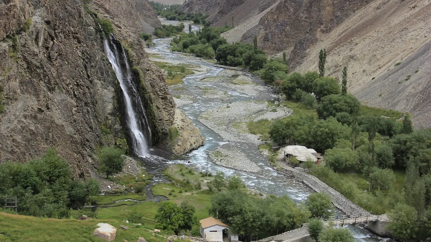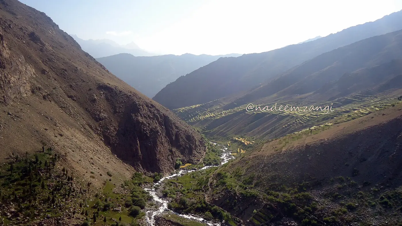
Kharmang Fort is the ruined stronghold on a rocky bluff above Kharmang Khas village, roughly 120 km up the Indus from Skardu, that gave the whole district its name. Little of the original structure survives, and there is no signage or ticket office, but the site, and the history behind it, explain why a valley of orchard villages is called Kharmang — "khar" meaning fort in Balti, "mang" meaning abundant.
This guide covers that history, what is left to see, and how to combine the fort with Manthokha waterfall further down the same valley.
| At a glance | |
|---|---|
| Where | Kharmang Khas village, Kharmang district |
| From Skardu | About 120 km, most of a day |
| What's there | Ruins of a fort on a rock bluff; no facilities |
| Status | Privately owned, no formal heritage protection |
| Best months | May to September |
| Combine with | Manthokha waterfall, on the same road |
Why Kharmang means "valley of forts"
The name Kharmang dates to the era of Ali Sher Khan Anchan, the Maqpon ruler of Skardu, who built a network of forts and watchtowers through this valley to hold its strategic position on the route between Baltistan and Ladakh. Kharmang Khas, further up the valley from Skardu than Manthokha or Mehdiabad, was one of the key sites, and its fort — locally remembered as "Kharmang khar" — is the one the district takes its name from. Other old fort remains survive elsewhere in the valley too, a legacy of the same period of fortification.
The history of the fort
According to the Shigar Nama, the old Balti chronicle of the region, the fort at Kharmang Khas was built by a ruler named Baig Manthal and stood until around 1750. The wider valley was long held by the Maqpon dynasty of Skardu before Dogra forces from Jammu conquered Baltistan, including Kharmang, in 1840, ending centuries of local rule. The fort's decline predates that conquest; by the time the Dogras arrived, it had already fallen into ruin.
Kharmang itself only became a separate district in 2015, split off from Skardu, with its headquarters at Tolti. Before that, its history was written into Skardu's, and the fort at Kharmang Khas is one of the clearest physical reminders of that older, valley-by-valley pattern of forts and local rulers across Baltistan.
What's left to see today
What remains is genuinely a ruin rather than a restored monument: broken walls on a rock bluff above the village, with views down the valley rather than any intact rooms or towers. The site is privately owned and has no legal heritage protection, so there is no ticket office, guide service or signage — what you see depends on the state of the walls when you visit, and that can change with weather and time.
Reaching the ruins from Kharmang Khas village means a short, informal climb over rock rather than a marked path, so sturdy shoes help and a local guide from the village is worth arranging if you want the history explained on the spot rather than read in advance.
Getting there and combining it with Manthokha
Kharmang Fort sits further up the valley than Manthokha, so the two are usually combined into one longer day rather than treated as separate short trips:
- Skardu to Manthokha, about two hours on the Skardu–Kargil road. Our guide to Manthokha waterfall covers this stretch and the walk to the falls.
- On through Mehdiabad and further up the valley to Kharmang Khas, where the road gets rougher and the drive takes longer.
- The climb to the fort ruins above the village.
Doing both Manthokha and the fort in one day from Skardu is a long day of driving; travellers with more time sometimes prefer to stay a night in the valley, at the resort by Manthokha waterfall or a local guesthouse, and split the two over two days.
Is it worth the trip?
For anyone interested in Baltistan's history of small fortified valleys, yes — Kharmang Fort is a tangible link to how the region was governed before the Maqpon dynasty gave way to Dogra rule, and it is a site few visitors from outside Baltistan ever reach. For a shorter trip, it is a hard sell on its own: there is little infrastructure, the ruins are modest, and the drive is long. Pair it with Manthokha, or skip it if your time in Kharmang is limited to a single day. Our guide to places to visit in Kharmang sets it alongside the district's other sights.
Frequently asked questions
How old is Kharmang Fort?
The chronicle known as the Shigar Nama records it as built by a ruler called Baig Manthal and standing until around 1750, part of the wave of fort-building under Ali Sher Khan Anchan of Skardu.
Where exactly is Kharmang Fort?
In Kharmang Khas village, Kharmang district, roughly 120 km up the Indus valley from Skardu, further than Manthokha waterfall.
Is Kharmang Fort open to visitors?
There is no formal ticketing or management; the site is privately owned ruins with no heritage protection, so visiting is informal and depends on local access at the time.
Can I visit Kharmang Fort and Manthokha waterfall in one day?
Yes, but it makes for a long day of driving from Skardu. Many visitors prefer to combine the two over a day and a night in Kharmang instead.
Why is the district called Kharmang?
From the Balti words for fort ("khar") and abundant ("mang"), reflecting the number of forts built through the valley under Ali Sher Khan Anchan, of which the ruins at Kharmang Khas are the namesake.