Jarogo Waterfall is in the Chatekal area of Matta tehsil, on the right bank of the Swat River about 55 km from Mingora. You drive to Matta and on to Beha, take a jeep up the valley to the trailhead, and walk the last stretch through forest beside the stream, usually between half an hour and an hour and a half each way, with several stream crossings. The best season is late spring to early autumn, when the path is clear of snow and the fall is full.
It is one of the tallest waterfalls in Swat, a single long drop between two steep forested mountainsides, and far less visited than the sights on the Kalam road. This guide covers the route from Mingora, the hike, where you can camp, the best months, and the security picture in Matta.
| At a glance | |
|---|---|
| Location | Chatekal area, Matta tehsil, Swat |
| From Mingora | About 55 km, via Matta and Beha |
| Last stretch by road | About half an hour from Beha, often by jeep |
| The walk | About 30 to 90 minutes each way in summer |
| Terrain | Forest path, a steep zigzag climb and several stream crossings |
| Best months | May to September |
| Camping | Basic camping near the trailhead; government pods announced |
| Checkpoint | Police check at Beha; carry your CNIC |
Where is Jarogo Waterfall?
Matta is a tehsil on the western, right-bank side of the Swat valley, north-west of Mingora. Most visitors to Swat never cross to this side: the main road to Kalam runs up the opposite bank. Jarogo lies up a side valley beyond the village of Beha, where the stream drops over a high cliff between thickly forested slopes of pine.
For years the waterfall was almost unknown outside the area, because there was no road near it. A jeep track now runs much closer, and in summer there are tea stalls near the trailhead, but it remains a place you have to make an effort to reach.
How to get there from Mingora
- Mingora to Matta. Cross the river to the right bank at Kanju and follow the road north to Matta, a busy tehsil town.
- Matta to Beha, about half an hour. From Matta bazaar a road leads up through villages and farmland to Beha. There is a police checkpoint here, where you register and show ID.
- Beha to the trailhead, about half an hour. The track beyond Beha is rough, and depending on its condition you may need a local four-by-four. Jeeps can be hired in Beha; agree the fare and waiting time before you set off.
- Walk to the fall. From the end of the track, a path leads up the valley on foot.
Allow about one and a half to two hours from Mingora to the trailhead, and a round trip of four to five hours from Matta including the walk and time at the waterfall. Leave Mingora by 8 or 9 am, so you are walking before midday and back at the car well before dark.
The hike: length, climb and stream crossings
The walk is short but not trivial. From the jeep stop the path follows the stream through forest, and the first 15 to 20 minutes include a steady zigzag climb that feels harder in the midday sun. Fit walkers can reach the base of the fall in about half an hour; families and slower walkers should allow an hour or more. In snow, it takes considerably longer.
The feature that surprises people is the water. The path crosses the stream several times, from one bank to the other, and there is no avoiding getting your feet wet.
- Wear waterproof boots or sandals with a firm rubber sole. Trainers soak through and slip on wet stone.
- Cross where the water is slow and shallow, facing upstream, one step at a time, and hold children by the hand.
- Stay off the rocks at the base of the fall. They are wet, mossy and very slippery, and the spray keeps them that way all day.
- Don't swim. The pool below the fall is ice-cold, and the current is stronger than it looks.
- Stay away after heavy rain. The stream rises quickly and the crossings become dangerous; give it at least a day to settle.
The path back is the same way. Going down is harder on the knees than coming up, so take it slowly.
Camping and pods near the waterfall
There are two ways to spend a night near Jarogo.
Camping. In summer, a small open-air restaurant near the forest entrance serves food and lets people pitch tents; it can close at the start and end of the season. Bring your own tent, sleeping bag and warm clothes, as nights in the valley are cold even in summer.
Government pods. The Khyber Pakhtunkhwa government has announced camping pods at Jarogo as part of its programme of small tourist sites. In June 2025, official reports said pods at Jarogo and Sulatanr in Swat were set to become operational. We could not confirm that they are now open and taking bookings, so check with the Khyber Pakhtunkhwa Culture and Tourism Authority before planning around them. At KP pod sites already open, the same 2025 reports gave rates of about PKR 3,500 to 5,000 a night for a pod with two to four beds, a washroom and a small kitchen. Prices change, so treat that only as a guide.
If you want a proper bed, most visitors base themselves in Mingora. Our guide to where to stay in Swat covers the options.
When is the best time to visit?
- May and June bring the most water, as snow melts on the mountains above. The fall is at its fullest, but the stream crossings are deeper and colder.
- July and August are green and warm, but monsoon storms can make the stream rise suddenly. Check the forecast and avoid the day after heavy rain.
- September is often the easiest month: lower water, firm paths and settled weather.
- October is cooler and quieter; the restaurant may be closed.
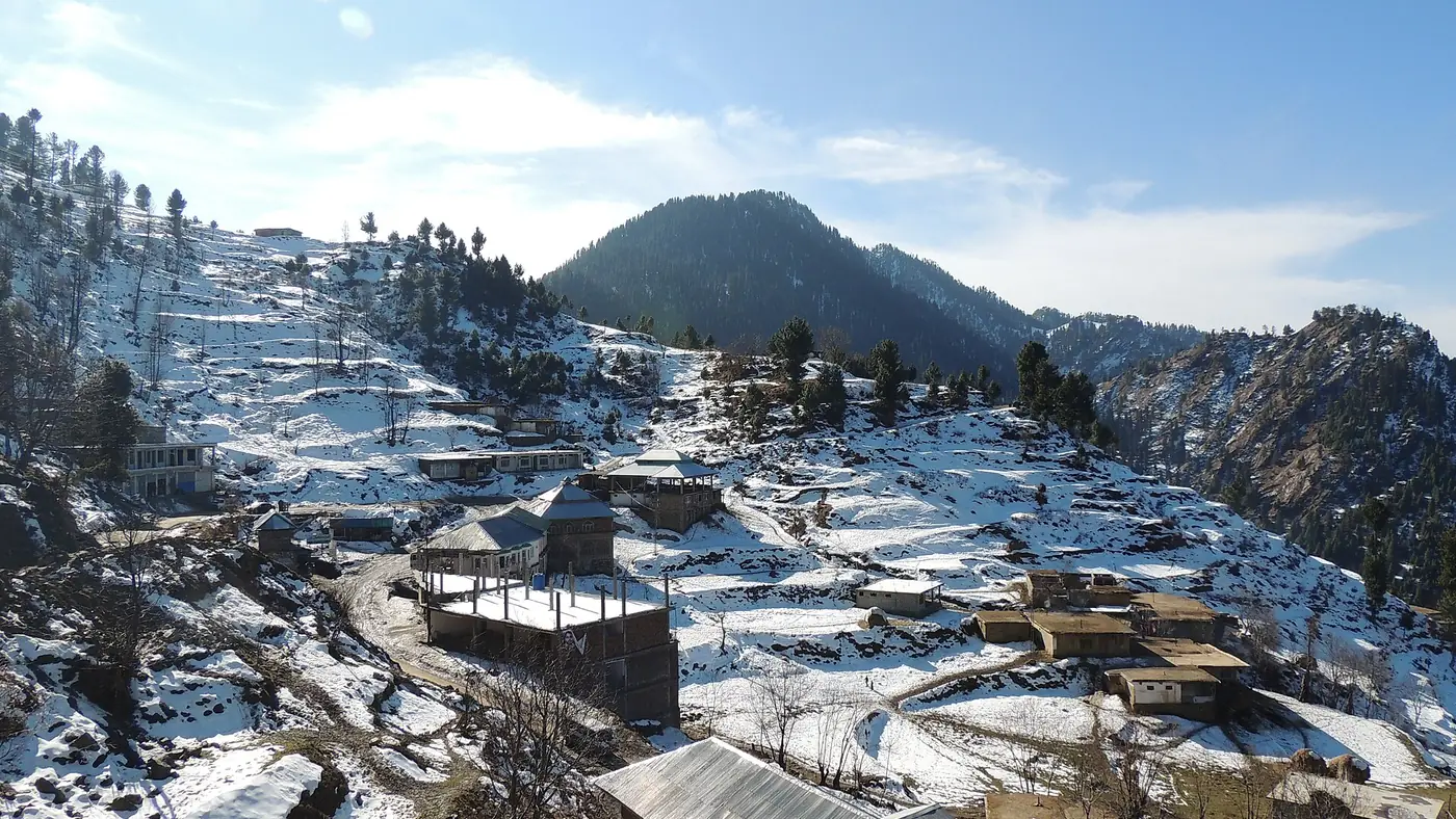
- November to April brings snow to the valley. People do walk in to see the fall in winter, but the path is icy and the streams partly frozen, so go only with a local guide and proper boots.
Our guide to the best time to visit Swat covers the seasons across the valley.
Is it safe to visit Jarogo?
Pakistani visitors do go to Jarogo, and the police checkpoint at Beha registers them on the way in. But Matta is a sensitive area and you should know the background before you go.
In August 2022 militants appeared in the hills of Matta and held a police DSP and others hostage for several hours at Balasoor Top, which led to large protests across Swat. In September 2025 thousands of residents held a peace rally in Matta against renewed militancy. On 2 August 2026 a suicide bomber attacked the Kabal police station in Swat during a peace rally, killing 17 people.
Check local news and ask the police in Matta or at Beha about the current situation before going on, and follow their advice if they tell you not to. Carry your CNIC. Overseas visitors should know that the UK government advises against all travel to Swat, and that this can void travel insurance.
Who is Jarogo for?
It suits walkers and families with children old enough to manage a short, steep path and some wading, and anyone who wants a day in Swat away from the Kalam road crowds. The fall is the reward, but the walk up the forested stream is half the pleasure.
It suits less well anyone who cannot manage uneven ground and cold water, visitors who want facilities at the end, or anyone uneasy about the security situation in Matta. For an easier day by the water, the riverside stops on the main road towards Madyan and Bahrain need no hike at all. Our Swat Valley page covers the rest of the valley, and our guide to places to visit in Swat suggests what to combine it with.
Frequently asked questions
Where is Jarogo Waterfall?
In the Chatekal area of Matta tehsil in Swat, on the right bank of the Swat River, about 55 km from Mingora. The route runs through Matta and the village of Beha.
How long is the hike to Jarogo Waterfall?
About 30 to 90 minutes each way from the jeep stop in summer, depending on your pace. It takes longer in snow.
Can I drive my car to Jarogo Waterfall?
You can drive an ordinary car to Matta and Beha. Beyond Beha the track is rough, and a local four-by-four is often needed to reach the trailhead.
Are there camping pods at Jarogo?
The KP government has announced camping pods at Jarogo, and in 2025 official reports said they were about to open. Check with the Khyber Pakhtunkhwa Culture and Tourism Authority before relying on them.
What is the best time to visit Jarogo Waterfall?
May to September. The fall is fullest in May and June; September has lower water and easier crossings. Avoid the day after heavy rain.
Is Jarogo Waterfall suitable for children?
For children who are steady on their feet, yes, with an adult holding them at every stream crossing. Keep them well away from the wet rocks at the base of the fall.