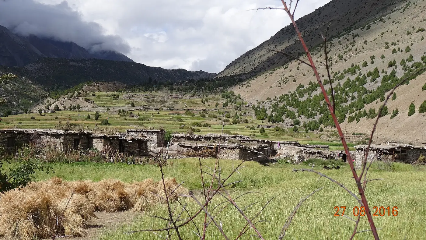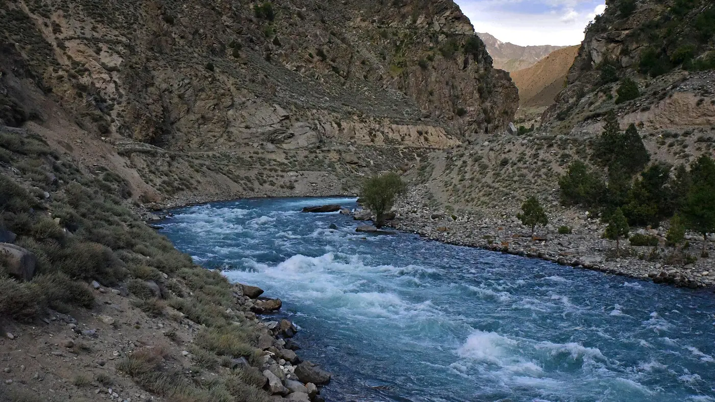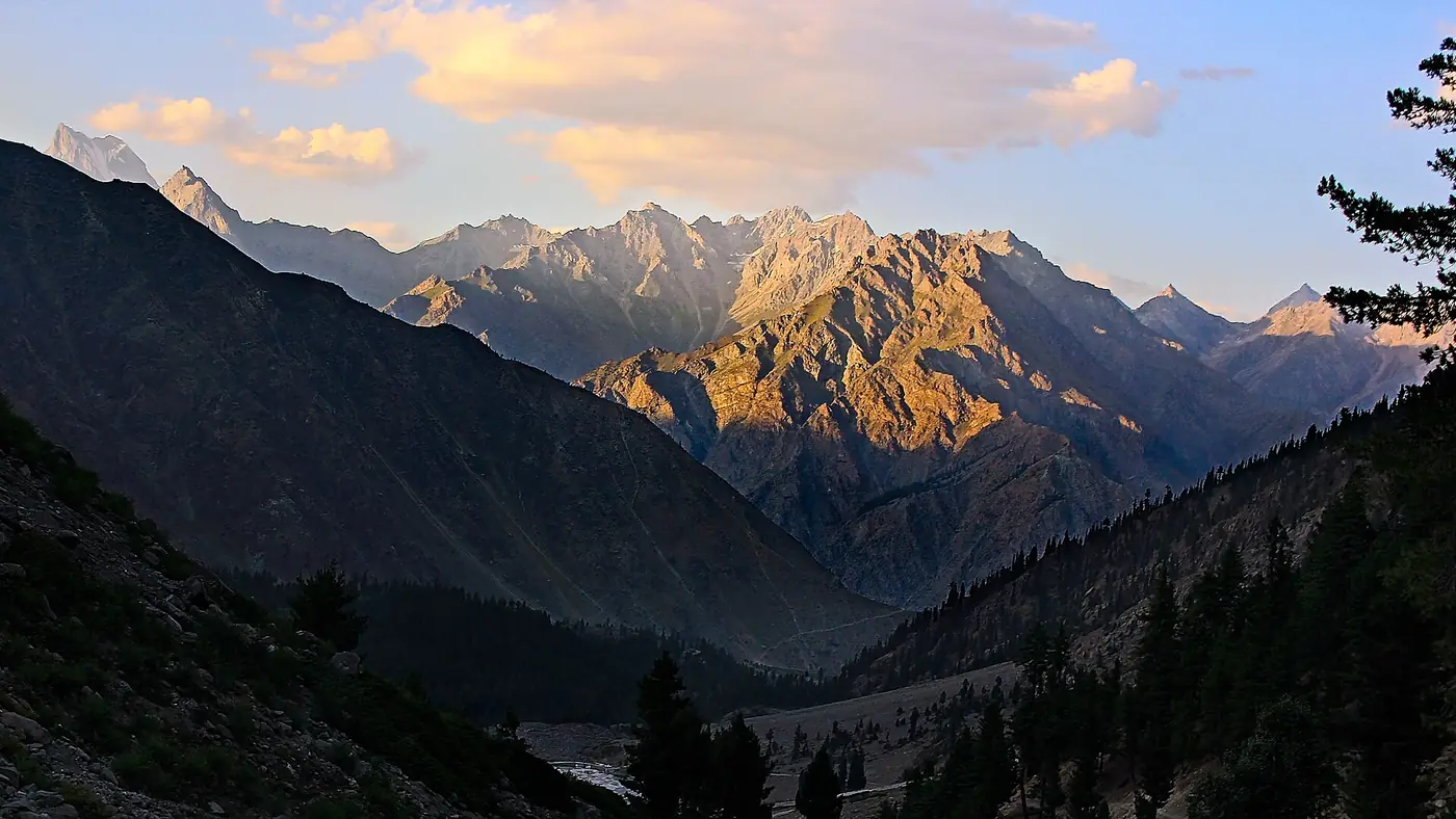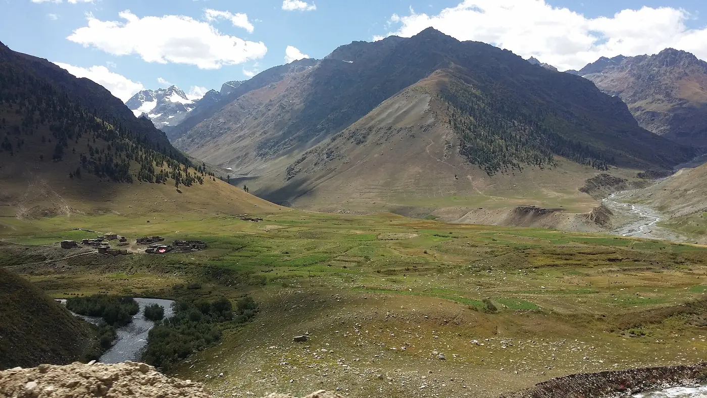
Burzil Pass is a high crossing above Astore, at roughly 4,100 to 4,200 metres, that carries the 4x4 track from Chilim down to Minimarg and Domel close to the Line of Control. It was once part of the main caravan route between Srinagar and Gilgit, closed off when the region split at Partition, and it now opens to visitors for only a few months a year, roughly from late June or July to September.
This guide is about the pass itself: its height, its history, when the snow clears, and what the road over it is actually like to drive.
| At a glance | |
|---|---|
| Height | Commonly given as 4,100 to 4,200 m (about 13,500 to 13,800 ft); sources vary slightly |
| Links | Chilim, above Astore, to Minimarg and Domel |
| Road | Unpaved 4x4 track beyond Chilim, with army checkposts |
| Season | Roughly late June or July to September |
| History | Part of the old Srinagar–Gilgit caravan route, largely closed after the 1947–48 war |
| Documents | Original CNIC for Pakistani visitors; foreigners need special permission |
How high is Burzil Pass?
Figures for the top of Burzil Pass differ between sources. Wikipedia gives 4,100 metres, while the Gilgit-Baltistan tourism department and a state news agency caption both give 13,808 feet, close to 4,210 metres. The difference is small in practical terms: either way, this is a genuinely high pass, well above 4,000 metres, where the air is thin and the weather can turn quickly even in summer. Treat any single figure you read, including the ones here, as an approximation rather than a surveyed exact height.
The old caravan route
Before Partition, Burzil Pass carried one of the main routes between Srinagar, in the Kashmir valley, and Gilgit. It was a trade and travel road used for centuries, crossed on foot and by pony, and during British rule a hut stood on the crest of the pass where couriers exchanged mail and messages on their way north.
That changed after the First Kashmir War of 1947–48. The route was cut by the new line of control between Pakistan and India, and the sections running into what became Indian-administered Kashmir, through the Gurez valley towards Srinagar, were closed off. What is left on the Pakistani side is the upper part of the old road: Astore, up over Burzil, down to Minimarg. It is a shortened fragment of a much longer historic route, and today it is a dead end for travel rather than a through road to anywhere beyond the border.
The road today
The modern road follows the same line the old caravan route took, but it is a rough, mostly unpaved 4x4 track rather than a maintained highway. From Astore town it is about 88 km to Minimarg, roughly three hours or more, via Chilim, the last point a normal car can reach. Beyond Chilim only 4x4 vehicles are allowed, and there is a series of army checkposts where every passenger's name and CNIC, and the vehicle's registration, are recorded.
The climb from Chilim to the top runs through open, grassy high ground in long loops, with snow often lying beside the road well into summer. The descent on the far side drops into the forested Minimarg valley. It is slow going in places, muddy after rain, and far from any mechanic, so a sound vehicle and an experienced driver matter more than speed. For the full drive, the checkposts and where to sleep, see our Minimarg guide.
When is Burzil Pass open?
The pass is the last of Astore's high routes to open each year, and the most weather-dependent. In a typical season the road becomes passable for visitors some time between late June and July, once enough snow has cleared, and it stays open into September, occasionally into early October. Snow has been recorded falling on the pass as late as mid-June in some years, so an early-season date is never a certainty.
From about November to May the pass is closed by snow and the road to Minimarg from the Astore side is impassable. Our guide to the best time to visit Astore valley sets out how Burzil's short season fits alongside Rama, Rupal and Deosai.
Is it safe to cross?
Pakistani visitors cross Burzil Pass every summer without incident, but it is not a road to underestimate. The altitude, the unpaved surface, sudden weather changes and the closeness to the Line of Control all call for care.
- Go early in the day. Checkposts on the route have stopped letting vehicles through from early or mid-afternoon in past seasons.
- Carry warm clothing, whatever the month. The top of the pass is cold even on a sunny day in Astore.
- Follow the checkposts' instructions on photography, drones and where you may stop; this is a controlled military area near the Line of Control.
- Foreign nationals need special permission to travel this road, and should not plan a trip around it without confirming access in advance.
Is Burzil Pass worth crossing?
For travellers who have the time, the right vehicle and flexible dates, yes: it is one of the more remarkable drives in Gilgit-Baltistan, a fragment of an old trade road climbing to over 4,000 metres between two very different valleys. It is not a trip to attempt on a short schedule or with an ordinary car, and the reward on the far side, Minimarg and the lakes at Domel, needs its own planning around checkposts and a narrow season.
If a Burzil crossing does not fit your trip this year, Astore's other valleys, Rama and Rupal in particular, are reached far more easily and are open for longer. For help fitting Burzil and Minimarg into a wider Astore itinerary, send us your dates on our trip planning page.
Frequently asked questions
How high is Burzil Pass?
Sources give figures from about 4,100 to 4,210 metres (roughly 13,500 to 13,800 feet). Treat any exact number as approximate.
When is Burzil Pass open?
Usually from late June or July to September, depending on snow, and it is the last of Astore's high roads to open each year. It is closed from about November to May.
What is the historic significance of Burzil Pass?
It was part of the main caravan route between Srinagar and Gilgit before Partition, used for trade, travel and mail. The route was cut by the Line of Control after the 1947–48 war.
Can a normal car cross Burzil Pass?
No. Cars can reach Chilim, below the pass, but beyond that only 4x4 vehicles are allowed, with checkposts along the way.
Do you need permission to cross Burzil Pass?
Pakistani visitors travel on their original CNIC, with registration at checkposts from Chilim onward. Foreign nationals need special permission, which is not simple to obtain.