Tato village, also spelt Tattu, is where the jeep track from Raikot Bridge ends and the walk to Fairy Meadows begins, at around 2,200 metres in the forested lower slopes below Nanga Parbat. It is a settlement of its own, home to roughly 4,500 to 5,000 people in the local Shina community, not simply a car park at the end of the road, and its name comes from the hot springs that rise near it: tato means "hot" in Shina.
Most visitors pass through in half an hour on their way to or from the meadow. This guide covers what is actually here, the local land dispute that shapes how the area is managed, and how to start the walk well.
| At a glance | |
|---|---|
| Also spelt | Tattu |
| Altitude | About 2,200 m |
| Population | Roughly 4,500 to 5,000 |
| Reached by | Local union jeep from Raikot Bridge, 15 km, 1.5 to 2 hours |
| Onward to Fairy Meadows | 5 km on foot, 2 to 4 hours |
| Name means | "Hot" in Shina, after nearby hot springs |
| Facilities | Porters and horses for hire, simple shops and tea stalls |
Where the jeep road ends
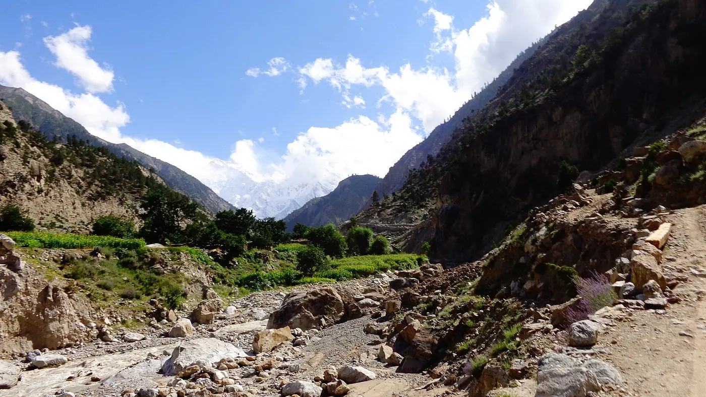
Tato is the last point vehicles of any kind can reach on the way to Fairy Meadows. The 15 km track up from Raikot Bridge on the Karakoram Highway, unpaved and cut into the side of the Raikot gorge, finishes here, and everything beyond is on foot or by horse. Our guide to the Fairy Meadows jeep track covers that ride, the fare and how the union system works.
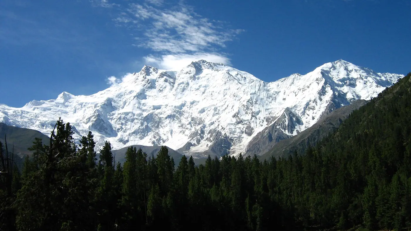
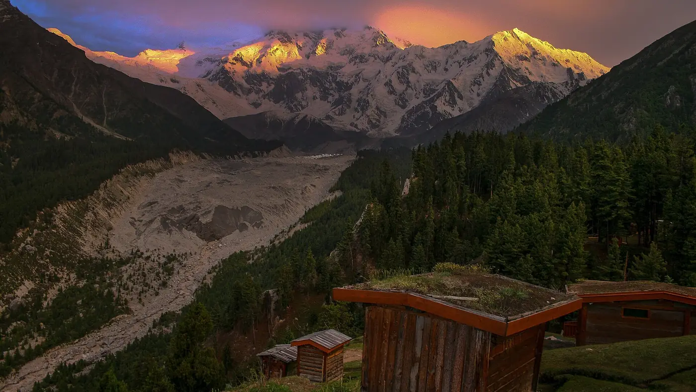
The village sits among pine forest, a visible change from the bare rock of the gorge below, and it is here that most visitors first get a sense of scale of the mountain they have come to see.
The hot springs behind the name
Tato's name comes directly from natural hot springs near the village, which give it its Shina name and its local identity long before tourism arrived. They are not developed into a bathing facility for visitors in the way hot springs elsewhere in Pakistan are, and most people passing through do not seek them out; treat the name as a piece of local history and geography rather than an attraction to plan a stop around.
Who owns the land
Tato sits inside an area that the government of Pakistan declared Fairy Meadows National Park in 1995, later folded into the wider Nanga Parbat National Park in 2021. On paper that gives the government control of the land and its forests. In practice, implementation has been limited, because residents of Tato trace their ownership of the surrounding forests and land back to a purchase in 1868, well before the park was ever proposed, and have not accepted the park designation as overriding that claim.
The result is a village that runs much of its own tourism economy: jeep transport, porters, horses, guesthouses and camps are largely organised and owned locally rather than by a park authority. It also means the area's forest management and long-term protection are less settled than the National Park name might suggest. As a visitor this mostly shows up as good, since the transport and hospitality services are well established, but it is worth knowing that the "national park" you are walking through is not managed the way you might expect from that name elsewhere.
Starting the hike to Fairy Meadows
From Tato, the path to the meadow climbs about 5 km through forest, a walk of two to four hours depending on fitness and how much you are carrying. Tato is where you arrange that last stage:
- Porters and horses are available to carry bags or, for a higher price, carry a rider, so you are not committed to walking with a full pack. Our guide to Fairy Meadows horse ride prices covers current rates for both.
- Confirm your jeep driver's return arrangements here, since this is your last reliable point of contact with them before you lose phone signal higher up.
- Buy water and snacks if you need them; simple shops and tea stalls in the village cover the basics, though choice is limited.
- Start the walk with time in hand. Afternoon cloud can build quickly in summer, and the forest path is not one to finish in the dark.
Life in Tato
Tato is a real village, not a tourist facility, and it faces real constraints: limited electricity, patchy or no mobile signal, and only a single government dispensary for a community of several thousand people, with the nearest proper medical care a difficult journey away over rough roads. Diamer district as a whole has also had security incidents in recent years; our guide to hotels in Chilas sets out the current picture and what to check before travelling in the area. None of this should stop a well-planned visit, but it is worth remembering that the tourism most visitors experience sits alongside a community managing real day-to-day difficulties.
Should you spend time in Tato?
For most people, no more than the hour or so it takes to arrange porters or horses and start walking. It is a working village and a transit point rather than a destination, and the meadow above it is where the views, the rest and the reason for the trip actually are. If you are interested in how the area is run and who benefits from its tourism, Tato is worth a few extra minutes of conversation with a porter or driver, who can tell you more about the village than any sign will. Our Fairy Meadows destination page covers what comes next.
Frequently asked questions
Where exactly is Tato village?
At around 2,200 metres, at the end of the 15 km jeep track up from Raikot Bridge on the Karakoram Highway, in the forest below Fairy Meadows. It is the starting point for the walk to the meadow.
Why is it called Tato?
Tato means "hot" in the local Shina language, after natural hot springs near the village. They are not developed as a visitor bathing site.
Who owns the land around Fairy Meadows and Tato?
The government declared the area a national park in 1995, but Tato residents trace their ownership of the surrounding forests to an 1868 land purchase and have not fully accepted the park designation, so much of the local tourism economy remains community-run.
How long does the walk from Tato to Fairy Meadows take?
About two to four hours on foot for 5 km, depending on fitness, or less if you hire a horse. Porters are also available to carry luggage.
Is there phone signal in Tato?
Coverage is patchy at best and often absent, and it is largely gone beyond the village. Confirm plans with your jeep driver before you start walking.