Laram Top, also called Laram Sar, is a hilltop at about 2,590 metres (8,500 ft) in Lower Dir, roughly 30 km north of Chakdara. You reach it from Ouch on the N-45: a short paved road to the foot of the mountain, then about 17 km of rough track to the top. It is best known as a winter snow trip for day-trippers from Malakand, Swat, Bajaur and Mardan, and after heavy snow the track often closes and people walk the last few kilometres.
This guide covers the road up from Chakdara, what a winter walk-in involves, what there is (and isn't) at the top, camping, and who the trip suits.
| At a glance | |
|---|---|
| Altitude | About 2,590 m (8,500 ft) |
| Where | Adenzai area of Lower Dir, above Chakdara and Ouch |
| From Chakdara | About 30 km |
| Route | N-45 to Ouch, then about 5 km paved and 17 km of track |
| Vehicle | High clearance or 4x4 for the track; 4x4 or on foot in snow |
| Snow | Winter; the road can stay blocked for days after heavy falls |
| At the top | No hotel or restaurant; camping pods announced for 2026 |
| Security | Clashes between police and militants nearby in 2026 |
Where is Laram Top?
Laram rises in the Adenzai area of Lower Dir, with Chakdara below it to the south, Timergara to the west and the historic Talash valley to the south-west. The name is usually said to come from the Pashto word for scorpion. Locals also call the summit "radar", after the communications installations on top.
Before Partition, British officers and their families spent summers up here; the place was then largely forgotten until snow trips revived it. Most visitors come from the surrounding districts for the day.
The road from Chakdara
The route is short but slow at the end:
- Motorway to Chakdara. From Islamabad or Peshawar, take the M-1 and then the M-16 Swat Motorway, which ends at Chakdara. The motorway section from Nowshera takes about an hour.
- North on the N-45 to Ouch, about 10 km. Fill up with fuel and buy food and water in Chakdara or Ouch.
- Turn off for Laram. A paved road of about 5 km runs to the foot of the mountain.
- The track to the top, about 17 km, unpaved and steep in places.
There are other ways up from the Rabat, Talash and Timergara sides, but the Ouch road is the usual one, and it is changing. A 12.7 km Laram Top road, costed at Rs700 million, was put out to tender in 2025 under an Asian Development Bank-funded rural roads programme, and in September 2026 the provincial tourism authority said a jeep track from Laram Sar to Aso Kandaw in Upper Dir was being built. Ask in Ouch or Chakdara how far the work has got and how the track is.
Local reports say ordinary cars make it up in dry weather, taking it slowly. A car with good ground clearance, or a 4x4, is much more comfortable on the unpaved part. The track is slow, so allow plenty of time and plan to be back on the N-45 before dark.
Winter: the snow and the walk-in
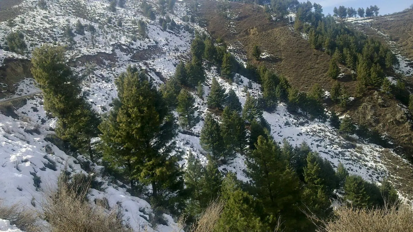
Laram gets several feet of snow in a good winter, and this is when most people come. The pattern after a heavy fall is well established. In January 2019 the road to the top was closed by snow, and most visitors left their cars partway up and walked about 5 km to the summit. In January 2026, with the Laram road completely covered, the Lower Dir administration advised tourists not to go beyond the point where it was blocked until the road had been cleared, and ordered the works department in Adenzai to clear it.
If you go for the snow:
- Check the road first with the police or the district administration: is it open, and how far can vehicles go?
- Start early. Walking uphill in snow is slow, and you want to be off the mountain well before sunset.
- Park where you are told to, and never drive past a closure or onto snow without chains or a 4x4.
- Wear proper boots with grip, waterproof layers, gloves and a hat. Trainers get soaked within minutes.
- Set a turn-back time and stick to it, whether or not you have reached the top.
- Carry water, food and a hot drink. Visitors in 2019 brought their own gas cylinders to cook, because there was so little to buy at the top.
Winter walk-ins suit fit adults and older children. For small children and older parents, a snow trip to somewhere with a hotel at the snow line makes more sense. Our guide to snowfall places in KPK compares the options.
What is at the top?
Very little. In January 2022, Express Tribune reported that there was no restaurant or hotel at Laram and no night stay available, even as tourists arrived in large numbers after the Murree tragedy that winter. Assume the same today: bring everything you need, and take every scrap of rubbish back down.
That may be changing. In September 2026 the Khyber Pakhtunkhwa Culture and Tourism Authority announced camping pods at Laram Top, to open for the coming tourist season. Check whether they are running before you plan around them.
On a clear day the reward is the height: you stand far above Chakdara and the valleys of Lower Dir, and in winter you are in deep snow a short drive from the plains. Stay away from the communications installations, don't photograph them, and do what any guards on duty ask.
Summer and camping at Laram
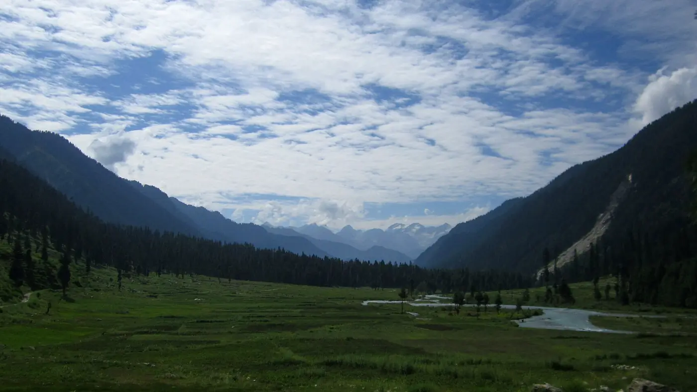
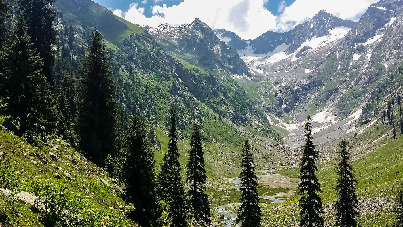
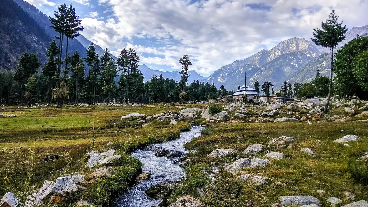
In summer the top is green and much cooler than Chakdara, and walking and camping are the main attractions. With no facilities, camping here means being fully self-sufficient: tent, sleeping bags, stove, water and food, carried up and all your rubbish carried down.
For now, we would not camp at Laram. The July 2026 clashes were in these hills, the top is isolated, and help is a long way off at night. A day trip in daylight, with local people who know the area, is the most we would suggest until the situation settles. When it does, ask permission from local landowners before pitching, keep any fire small and fully out, and use a stove rather than cutting wood.
Is Laram Top safe?
The UK's Foreign Office travel advice, updated in September 2026, advises against all travel to Lower Dir and Upper Dir, to Swat, and to the N-45 you drive to reach Ouch. And the Laram hills themselves have seen fighting this year:
- June 2026: after an attack on a police checkpost, police and the Counter Terrorism Department killed six militants in the Brichar area of Talash, below Laram to the south-west.
- July 2026: in mid-July, militants attacked a police search operation at Haidari Top, on the border of the Laram valley and Khall. Three police officers were killed and 16 injured, and residents said the militants set police vehicles on fire.
- August 2026: a suicide bombing at the Kabal police station in neighbouring Swat killed 17 people.
None of these targeted tourists, Pakistani visitors still go to Laram after snow, and the provincial tourism authority is investing there. But for now, check before every trip: ask the Lower Dir police or the district administration whether Laram is clear, go only in daylight, don't camp, and turn back if you are told to. The KP tourism helpline, 1422, can also help. If you hold a foreign passport, your government's advice may say not to go, and ignoring it can void your travel insurance.
Who is Laram Top for?
Laram suits people from Malakand, Swat, Mardan and Peshawar who want a quick snow day on their doorstep, with a sturdy vehicle, warm kit and local knowledge of the road. For them it is a short drive to real snow and a big view, without the long haul to the better-known resorts.
It is not worth a long journey from Lahore or Karachi: there is nowhere to stay or eat, the track is hard work, and the security picture is uncertain. Families wanting snow with a warm room at the end of the day will do better in the Galiyat, which is covered in our guide to where to see snow in Pakistan. If you would like help planning a winter trip to somewhere with proper rooms and roads, send us your dates.
Frequently asked questions
Where is Laram Top?
In the Adenzai area of Lower Dir, Khyber Pakhtunkhwa, about 30 km north of Chakdara. The usual approach is from Ouch, on the N-45 about 10 km north of Chakdara.
How high is Laram Top?
About 2,590 metres, or 8,500 feet, above sea level.
Can a car go to Laram Top?
In dry weather, local reports say ordinary cars get up slowly, though a high-clearance car or 4x4 is better on the 17 km of unpaved track. In snow, only 4x4s with chains should try, and often the road is closed and people walk.
When does it snow at Laram Top?
In winter, usually between December and February. After heavy falls the road can stay blocked until the works department clears it, as happened in January 2026.
Is there a hotel at Laram Top?
No. There has been no hotel or restaurant at the top, so bring food, water and warm clothes. The provincial tourism authority announced camping pods there in September 2026; check whether they have opened.
Is Laram Top safe to visit?
Militants clashed with police in the hills around Laram in July 2026, and the UK advises against all travel to Lower Dir. Check with the Lower Dir police before going, travel only in daylight, and don't camp there for now.