The Katora Lake trek is a day walk from the Jahaz Banda meadow above Kumrat: about 4.5 to 5 km and three to four hours up to a glacial lake at around 3,500 metres, and two to three hours back down. The last part is a steep climb over boulders, the path is not always clear, and there is nowhere to sleep at the lake, so most people spend the night before and the night after at Jahaz Banda. Go between July and September, start early, and take a local guide.
This post covers the onward walk from Jahaz Banda: the route, how hard it is, water and weather, and what to do if the day turns. Getting to Jahaz Banda itself, by jeep from Thal and on foot from Taki Top, is covered in our Jahaz Banda trek guide.
| At a glance | |
|---|---|
| Altitude | About 3,500 m at the lake |
| Start | Jahaz Banda meadow, about 3,100 m |
| Distance | About 4.5 to 5 km each way |
| Time | 3 to 4 hours up, 2 to 3 down; 5 to 7 hours round trip with a rest |
| Difficulty | Moderate to challenging; steep, rocky final section |
| Best months | July to September |
| Sleep | At Jahaz Banda; no camping at the lake |
| Water | Streams and springs on the way; treat before drinking |
| Signal | None at the lake |
How the Katora Lake trek fits into a trip
Katora Lake is the high point of the Jahaz Banda walk, not a separate destination. The usual plan from Thal takes three days:
- Day 1: jeep from Thal to Taki Top, then three to four hours on foot to Jahaz Banda. Night at Jahaz Banda.
- Day 2: the Katora Lake trek, out and back. Second night at Jahaz Banda.
- Day 3: walk down to Taki Top and take the jeep back to Thal.
Some strong walkers do the lake and the whole descent to the jeep on day 2. That makes a day of nine or ten hours on foot, and we would only suggest it for fit groups with settled weather and a jeep booked for the afternoon.
The route from Jahaz Banda
The climb from the meadow to the lake gains about 400 metres. The walk falls into three parts:
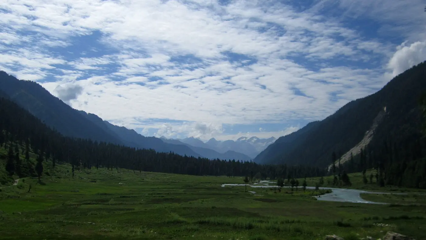
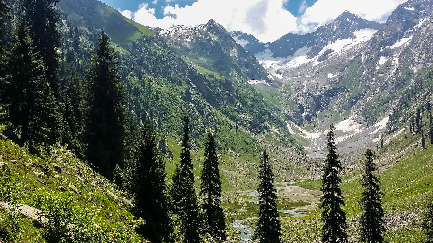
- Across the meadows. From Jahaz Banda the path leaves the huts and crosses open grazing ground, gradually rising. This is the easy part.
- The smaller lake. Part-way up you pass a smaller lake, known locally as Mini Katora. It makes a good rest stop, and some visitors turn round here if the weather or their legs are against them.
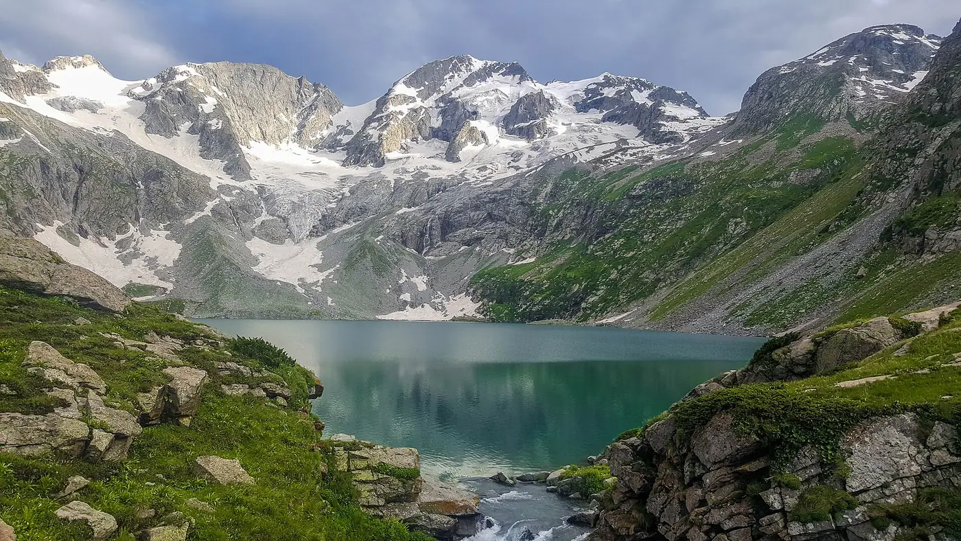
- Stones, boulders and the final climb. Above, the grass gives way to stony ground: first rounded stones underfoot, then larger boulders, with some easy scrambling and a steep final pull up to the rim. Then the lake opens out below you, a bowl of cold, clear water under the peaks. Katora means bowl.
The path is well trodden on the lower part but less clear higher up, especially across the boulders and in cloud. Walkers without a guide do go astray: one published account describes a seven-hour ascent after taking the wrong line, against three hours on the way down. That is the main reason to hire a local guide at Jahaz Banda or through your hotel in Thal.
How difficult is the Katora Lake trek?
It is harder than the walk to Jahaz Banda. The distance is short, but the ground is rough, the final section is steep, and you are walking at well over 3,000 metres, where everyone is slower than at home.
It suits:
- Fit adults and older teenagers who have done a few hill walks.
- Groups with a local guide, who can set the pace and find the line.
It is not a good idea for:
- Young children. Several travel guides advise against it for families with small children, and the boulders are awkward for short legs.
- Anyone with knee problems, because the descent over stones is hard on them.
- Anyone who struggled on the way up to Jahaz Banda. If that walk left you exhausted, spend the day at the meadow instead.
Horses are sometimes available for the easier lower part, but the last climb over the boulders is on foot.
Water, food and what to carry
Streams and springs run across the lower part of the route, so you don't need to carry all your water from the start. Treat anything you drink from them, with purification tablets or a filter, because cattle graze these slopes. Carry at least a litre and a half each, and more on a hot day.
In season there are a few simple tea stalls along the way, but don't rely on them for food. Take a packed lunch or plenty of snacks from Jahaz Banda.
Carry:
- A warm layer and a waterproof jacket, even if the morning is sunny
- A hat, gloves, sunglasses and sunscreen
- Walking shoes or boots with good grip; trainers slip on wet boulders
- Water bottles and purification tablets
- Lunch and snacks
- A small first-aid kit and any regular medication
- A torch, in case the descent runs late
Weather and the best months
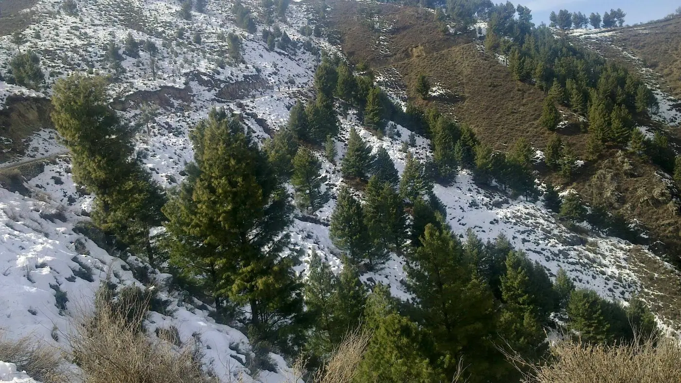
The lake sits in snow for much of the year. Heavy snow covers the route from roughly November into May, and early in the summer there can still be snow on the upper path. July to September is the reliable window; June is possible in a light snow year, but ask at Jahaz Banda before setting out. Our guide to the best time to visit Kumrat covers the whole valley month by month.
Even in summer it is cold at the lake, and the weather changes fast. A clear morning can turn to cloud, wind and rain by early afternoon. Cloud is the real danger on the upper part, where the path is vague among the boulders.
Staying safe on the walk
- Start early. Leave Jahaz Banda by 7 or 8 am, so you reach the lake before any afternoon weather.
- Set a turn-round time. If you are not at the lake by early afternoon, turn back. The descent over stones is slower than people expect.
- Don't swim. The lake is glacial and very cold; paddling at the edge is plenty.
- Watch for altitude. After a night at 3,100 metres most people feel only breathlessness. A bad headache, nausea or dizziness means going down, not pushing on.
- Stay together in cloud, and follow your guide's line rather than short cuts.
- Tell someone at Jahaz Banda when you expect to be back. There is no signal at the lake.
On security, walkers still visit every summer, but Upper Dir saw serious militant attacks in August 2026 and the UK government advises its citizens against all travel to the district. Check local news before you leave Thal. Our travel guide has more on walking safely at altitude.
Is Katora Lake worth the effort?
For fit walkers, yes. It is the best reward in Upper Dir for a day on foot, and the walk up through the meadows with the peaks opening out is half the pleasure. Standing at the rim of a glacial lake at 3,500 metres is not something most visitors to Kumrat ever do.
It is not worth forcing. If the weather is poor, the path is under snow, or someone in the group is struggling, a day at Jahaz Banda or a walk to Mini Katora is a good day too. If you would like the jeep, nights and guide arranged around your dates, send us your plans.
Frequently asked questions
How long is the trek to Katora Lake?
From Jahaz Banda it is about 4.5 to 5 km and three to four hours up, and two to three hours down. Reaching Jahaz Banda first takes a jeep from Thal and a further three to four hours on foot.
How high is Katora Lake?
About 3,500 metres, or 11,500 feet, roughly 400 metres above the Jahaz Banda meadow.
Is the Katora Lake trek difficult?
It is moderate to challenging. The distance is short, but the final section is a steep climb over boulders, the path is unclear in places, and the altitude slows everyone down.
Can you camp at Katora Lake?
No. There is no camping at the lake. Sleep at Jahaz Banda and walk up and back in a day.
Do I need a guide for Katora Lake?
It is strongly advised. The path is vague over the boulders and in cloud, and walkers do get lost. Guides can be arranged at Jahaz Banda or through your hotel in Thal.
When is Katora Lake accessible?
Usually July to September, when the route is clear of snow. Early summer can still have snow on the upper path, so ask at Jahaz Banda before setting out.