The Gilgit to Skardu distance is about 218 km by road, according to the Gilgit-Baltistan tourism department's distance chart. You drive 47 km south on the Karakoram Highway to Alam Bridge, near Jaglot, then 171 km east along the Indus on the Skardu road. Allow four and a half to five hours of driving, or five and a half to six hours with a couple of stops, and set off by 8 in the morning so the whole drive is done in daylight.
This guide covers the distance place by place, how long each part really takes, the stops worth making, fuel and food, and the best time of day to travel.
| At a glance | |
|---|---|
| Distance | About 218 km to Skardu town; 204 km to Skardu airport |
| Route | KKH to Alam Bridge, then the Skardu road (S-1) along the Indus |
| Driving time | 4.5 to 5 hours; 5.5 to 6 hours with stops |
| Road | Paved throughout |
| Best start | 7 to 8 am |
| Fuel | Fill up in Gilgit |
| Signal | Patchy in the gorge |
| Public transport | Vans and coaches daily |
Gilgit to Skardu distance, place by place
These are the tourism department's distances from Gilgit. They are what you will see on signboards and hear from drivers, and they help you judge how far you have come in a gorge where one bend looks much like the next.
| Place | From Gilgit | What is there |
|---|---|---|
| Pari | 16 km | A village on the KKH south of Gilgit |
| Alam Bridge | 47 km | The Skardu road leaves the KKH and crosses the Gilgit river |
| Sassi | 73 km | A village about 26 km along the Skardu road |
| Shingus | 96 km | A village about 50 km along the Skardu road |
| Stak Nala | 125 km | Where the Stak valley stream meets the Indus |
| Thowar | 148 km | A village in Roundu, the district between Gilgit and Baltistan |
| Bagicha | 171 km | About 45 km short of Skardu town |
| Skardu airport | 204 km | Past Kachura; the Katpana cold desert is beside it |
| Skardu town | 218 km | The bazaar and most hotels |
If your hotel is at Kachura, you arrive well before the airport, about 25 to 30 km short of the town.
How long does the drive take?
The distance looks modest on paper. The time goes on the bends.
- Gilgit to Alam Bridge, 47 km: about an hour on the Karakoram Highway, a good road with traffic through the Gilgit suburbs at the start.
- Alam Bridge to Skardu, 171 km: about four hours on the Skardu road, which follows the river through a deep, winding gorge for most of its length.
That gives four and a half to five hours of driving. Add a stop at the viewpoint near Alam Bridge, tea somewhere along the way and a photo stop or two, and five and a half to six hours is a realistic day. Vans that don't stop for photographs usually take four to five hours.
Before the Skardu road was rebuilt and widened, the last part alone took most of a day. Since it reopened in December 2021 as a two-lane road, the whole journey fits easily between breakfast and a late lunch. Closures still happen, though; our guide to the Skardu road condition explains where and why, and how to check before you go.
Stops worth making
The junction of three mountain ranges
Just before Alam Bridge, a viewpoint on the Karakoram Highway marks where the Himalaya, the Karakoram and the Hindu Kush meet, above the confluence of the Gilgit and Indus rivers. Fifteen to twenty minutes is enough. Our guide to the junction of three mountain ranges explains what you are looking at.
The Indus gorge
For the next three to four hours the river is beside you, grey-green and fast, under walls of bare rock. There are few proper lay-bys, so stop only where there is room off the road and the slope above looks solid, never on a bend or where a stream crosses.
Kachura and the lakes
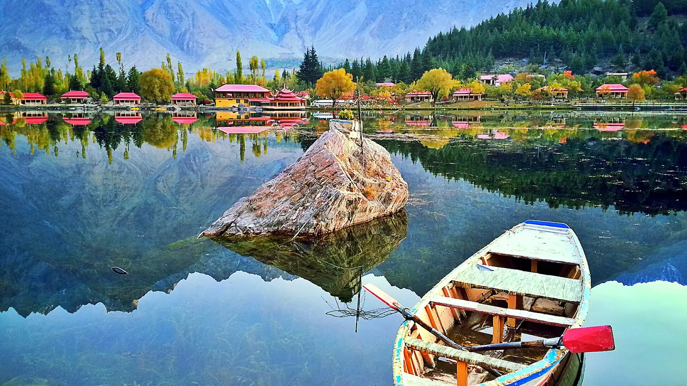
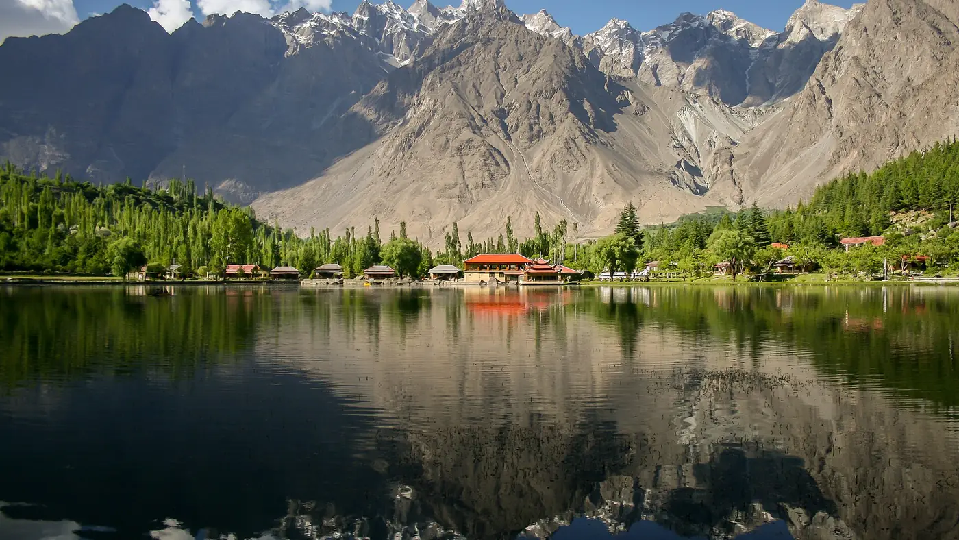
Near the end of the drive, the road passes Kachura, where Upper Kachura and Shangrila sit a short way off the road. If you have light and energy left, a first look at the lakes is a gentle way to arrive. If not, they are an easy half-day from Skardu later in the trip.
Katpana at sunset
The Katpana cold desert lies beside the airport, a few kilometres short of town. If you arrive late in the afternoon, the dunes in the last hour of light are the best possible introduction to Baltistan. Our Katpana desert guide covers how to reach them.
Fuel, food and signal
Fuel. Fill the tank in Gilgit before you leave. That way fuel is never the reason to stop somewhere awkward in the gorge. Skardu has fuel on arrival.
Food and water. Eat before you leave, and carry water and snacks for everyone. Village shops and tea stops along the way are simple, and you can't count on one being open when you need it. With children, pack more than you think you need, since a hold-up can turn a five-hour drive into eight.
Toilets. Use the facilities in Gilgit before you leave, and don't count on finding clean ones in the gorge.
Signal. Mobile coverage comes and goes in the gorge. Download offline maps before you leave, and tell someone in Skardu when to expect you.
What is the best time of day to travel?
Start between 7 and 8 in the morning. It is the single most useful thing you can do on this drive.
- Daylight. You reach Skardu by early afternoon, with hours in hand if the road is held up. We never plan this drive to finish in the dark.
- Heat. In June, July and August the gorge is hot by midday. An early start gets most of the drive done in the cooler hours, which matters for children and for older cars.
- Light for Kachura or Katpana. Arriving in the afternoon leaves time for a lake or the dunes before sunset.
In winter, days are short: by December the sun sets before 5 pm, and earlier in the gorge. Leave by 8 at the latest, carry warm clothes and a flask, and ask about ice before setting off. In the monsoon weeks of July and August, if heavy rain is forecast, wait a day rather than drive through it.
Driving, a van or a hired car?
Your own car is fine. The road is paved all the way, and sedans drive it every season. Make sure the brakes and tyres are in good order, and give trucks room on the bends.
A car with a local driver from Gilgit is the easiest option if you have flown in or would rather not drive mountain roads. Drivers on this route know the stops and hear about closures before anyone else.
Vans and coaches run between Gilgit and Skardu every day, including NATCO services. They are cheap and reasonably quick, but they leave when full and don't stop for views. Our guide to Gilgit-Baltistan by public transport explains where to find them.
Flying is not an option between the two towns: there is no flight from Gilgit to Skardu, and going through Islamabad would take far longer than the drive.
Is it worth driving between Gilgit and Skardu?
Yes, if your trip includes both. The drive links Gilgit and Hunza with Baltistan without going back to Islamabad, and it lets you fly into one airport and out of the other. Skardu takes jets from three airlines, while Gilgit has only PIA's small turboprops, so flying into Skardu and driving to Gilgit and Hunza is often the more reliable plan. If you are coming from Hunza, our guide to Hunza to Skardu by road covers the longer day.
It is less worth it as a there-and-back trip from Gilgit. Skardu needs at least three or four days to see properly. If you would like the whole of Baltistan planned for you, our seven-day Skardu and Deosai trip covers the lakes, Shigar, Khaplu and the plateau, from PKR 90,000 per person.
Frequently asked questions
What is the distance from Gilgit to Skardu?
About 218 km by road to Skardu town, according to the Gilgit-Baltistan tourism department: 47 km on the Karakoram Highway to Alam Bridge, then 171 km on the Skardu road.
How many hours is Gilgit to Skardu by road?
About four and a half to five hours of driving, and five and a half to six hours with stops. Landslides or roadworks can add more, especially in July and August.
Is the Gilgit to Skardu road paved?
Yes. The Karakoram Highway and the Skardu road are paved all the way, and ordinary cars use the route all year, apart from closures for landslides or snow.
Can I travel from Gilgit to Skardu by bus?
Yes. NATCO and private operators run vans and coaches daily, taking roughly four to five hours. Ask at your hotel which stand and departure time to use.
Is there a flight from Gilgit to Skardu?
No. The two airports are linked only through Islamabad, so the road is by far the quicker way between them.
What is the best time to leave Gilgit for Skardu?
Between 7 and 8 in the morning. You avoid the midday heat in the gorge in summer and arrive in daylight with time to spare.