Chattar Plain is a stretch of open, elevated ground on the Karakoram Highway in Mansehra district, sitting at an average height of around 1,630 metres, with the road and surrounding land ranging roughly between 1,495 and 1,780 metres. It is often described locally as the highest flat stretch of ground on the road between Abbottabad and Gilgit, and for drivers heading north it is one of the first clear signs that the road is climbing out of the plains and into the hills.
| At a glance | |
|---|---|
| Location | Mansehra district, on the Karakoram Highway (N-35) |
| Average elevation | About 1,630 m |
| Elevation range | Roughly 1,495–1,780 m |
| What's there | A bazaar, food stops and small hotels |
| Best used as | A rest and food stop on the way north |
What Chattar Plain actually is
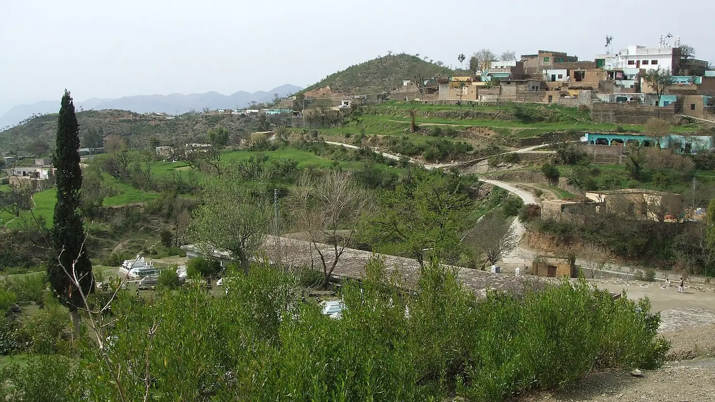
Chattar Plain is a union council of Mansehra district and a small settlement strung along the highway, rather than a single scenic viewpoint with an entry gate. It has a bazaar, a scattering of food stops and small hotels, and open plateau views over the hills of Hazara on either side. The land here is held largely by local Swati and Sadaat families, and the wider area, like much of Hazara, was affected by the 2005 Kashmir earthquake.
What makes it worth noting on a drive north is less any single sight and more the change in the road: after the built-up stretch through Mansehra and Shinkiari, the highway opens out onto this plateau before beginning the steeper climb further on towards Battagram, Besham and Kohistan.
Why travellers stop here
Chattar Plain sits at a natural point for a short break on a long drive: far enough from Abbottabad and Mansehra to be worth a proper stop, and before the road tightens into the narrower, slower stretches further north. Roadside food stops along this part of the KKH serve the usual highway menu of tea, parathas and simple meals, and it is a sensible place to fill up on food and fuel before the road becomes more mountainous.
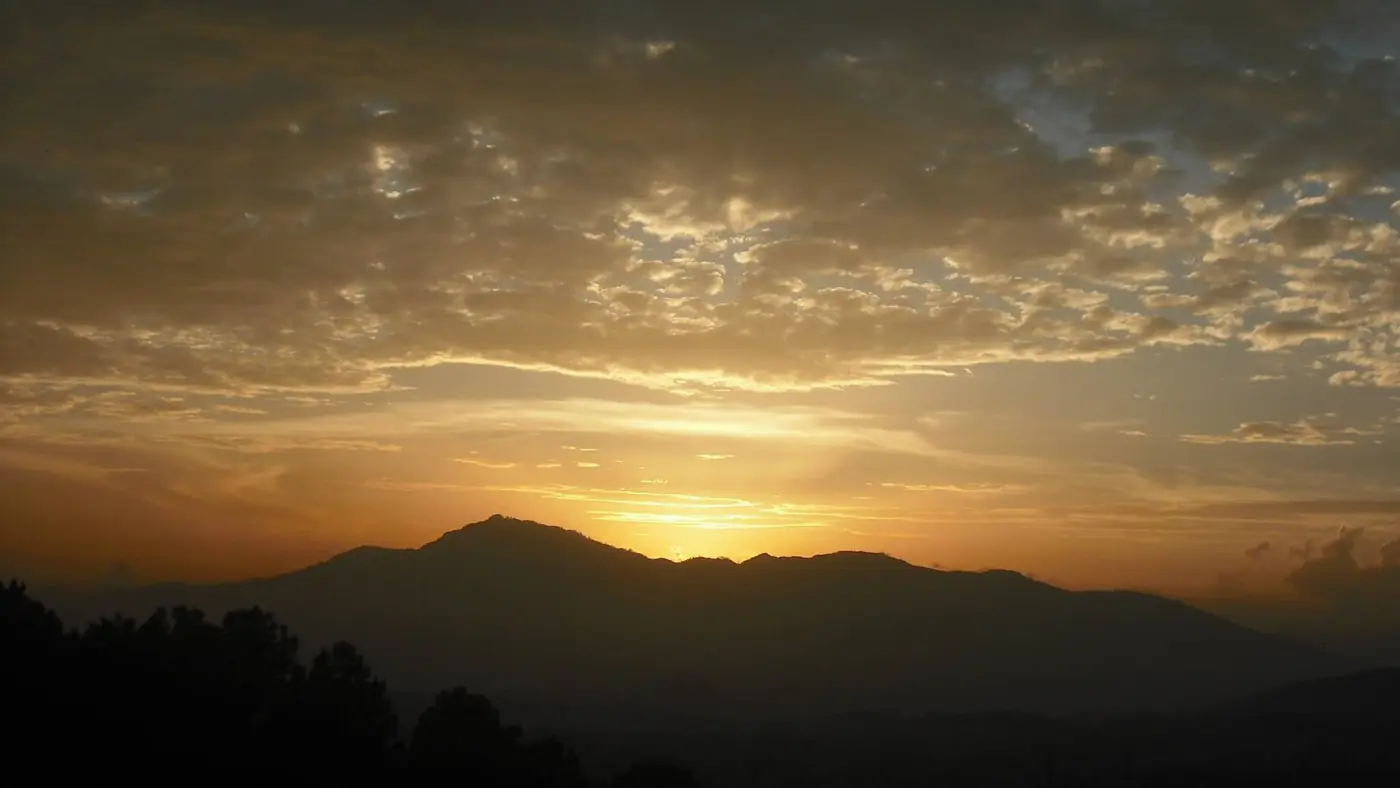
The plateau setting also makes for decent photographs, particularly in clear weather when the surrounding hills are visible in both directions along the highway. It is not a destination people plan a special trip around, but it breaks up a long drive usefully.
Weather and when to stop
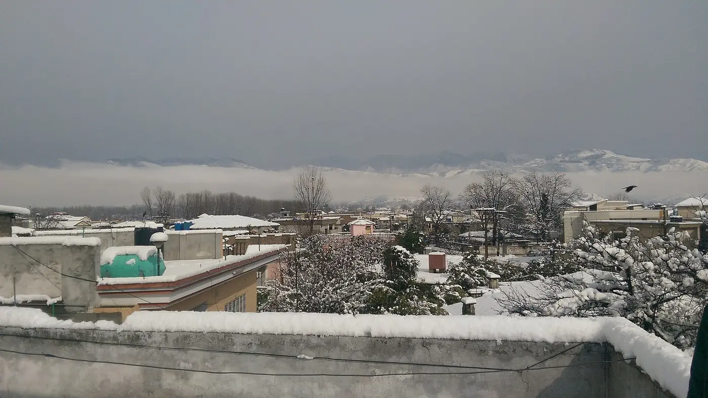
Being higher and more open than the towns just to its south, Chattar Plain is noticeably cooler, especially outside summer. In winter it can see snow and cold winds that the lower valleys around Abbottabad do not, so a stop here in December to February can be considerably colder than the temperature back in Mansehra suggests. Summer is comfortable and is when most northbound traffic passes through, since it coincides with the main travel season for Naran, Kaghan and the routes further north.
If you are driving the Karakoram Highway itself further north towards Chilas and Gilgit-Baltistan, be aware that the road later passes through Kohistan, where the UK Foreign, Commonwealth & Development Office advises against travel on the stretch between Mansehra and Chilas via Besham and Dasu. That advisory does not apply to Chattar Plain itself, which lies well south of it, but it is worth knowing before planning a longer KKH road trip. Our travel guide covers route planning for the north in more detail.
Getting there
Chattar Plain is reached by continuing north on the Karakoram Highway from Mansehra through Shinkiari; it is not a detour but a point directly on the main road, so anyone driving the KKH north from Hazara passes through it. It fits naturally as a stop on the way to Naran and Kaghan, Shogran, or further up the highway towards Gilgit-Baltistan.
Is it worth stopping for?
As a planned destination, no. As a practical rest stop on an already long drive north, yes: it is a sensible place to eat, stretch and take a few photographs of the surrounding hills before the road narrows further. Anyone driving from Islamabad or Lahore towards Naran, Shogran or Gilgit-Baltistan will likely pass through without needing to plan for it specifically.
Frequently asked questions
Is Chattar Plain a tourist attraction with an entry fee?
No. It is a settlement and open plateau on the Karakoram Highway with a bazaar and food stops, not a ticketed site.
How high is Chattar Plain?
It sits at an average elevation of around 1,630 metres, with the surrounding land ranging from about 1,495 to 1,780 metres.
Is Chattar Plain on the way to Naran or further north?
Yes. It lies directly on the Karakoram Highway in Mansehra district, on the route north towards Kaghan, Shogran and, further on, Kohistan and Gilgit-Baltistan.
Does it get cold at Chattar Plain?
It is noticeably cooler than Mansehra or Abbottabad below it, and can see snow in winter, so pack accordingly if travelling outside summer.
Are there hotels at Chattar Plain?
There are small hotels and guesthouses in the settlement, mainly serving passing traffic, but it functions as a stopover rather than a place most visitors stay for multiple nights.