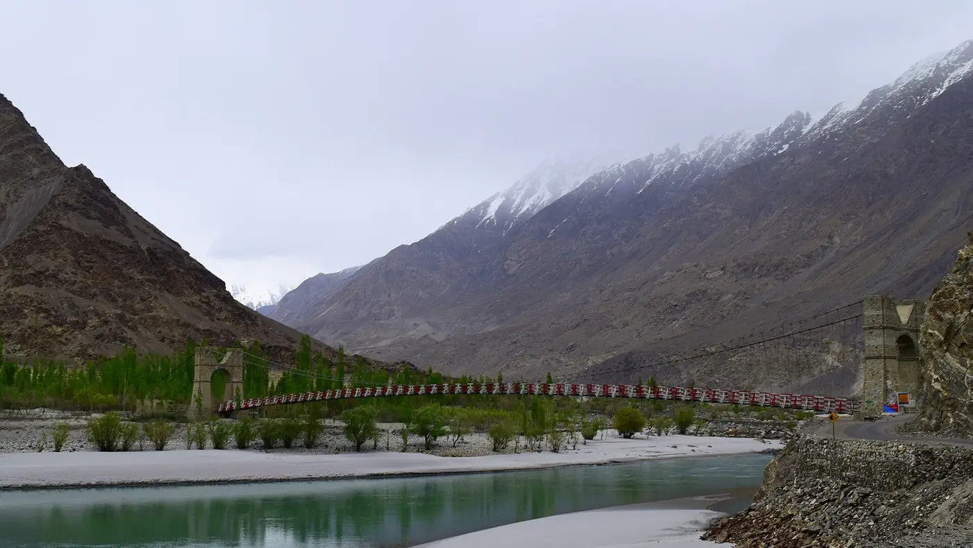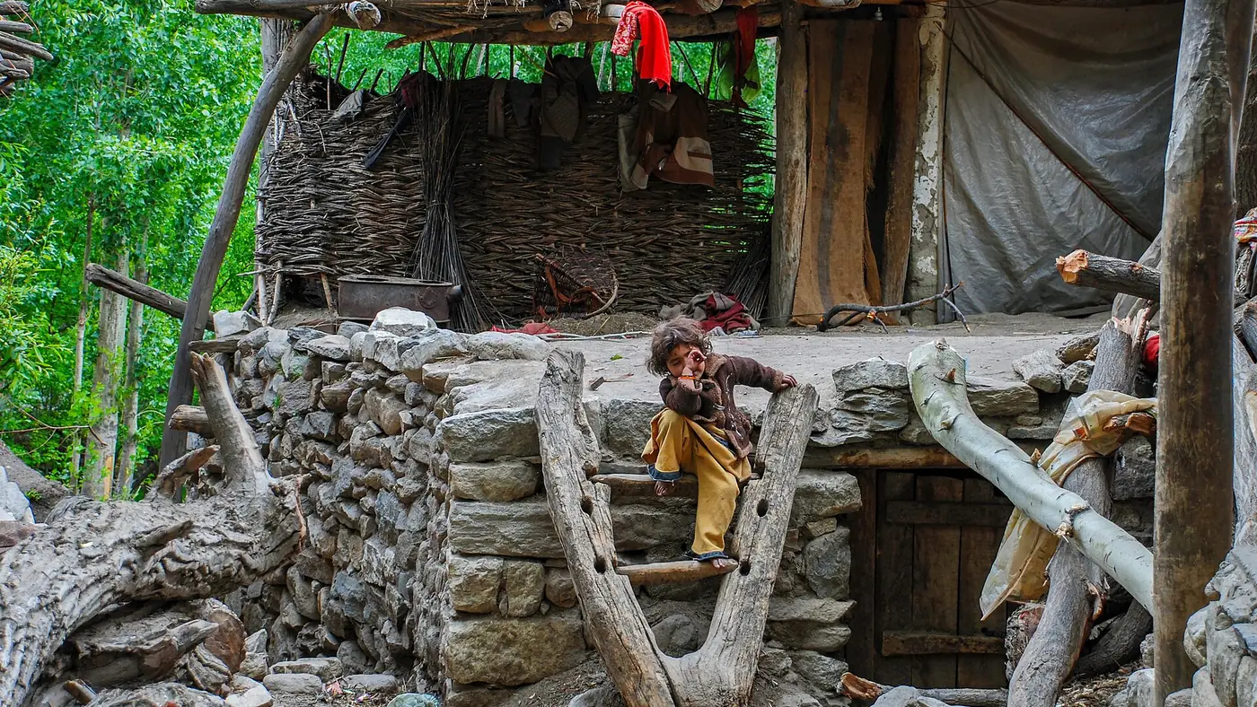
Arandu is the last village in the Basha valley, sitting at around 2,770 metres at the foot of the Chogo Lungma glacier, one of the largest glaciers in the Karakoram. It is reached by jeep from Shigar in around four hours, on a track built in the late 1990s that finally connected the village to Skardu by road. Beyond Arandu there is no more road, only the glacier and the mountains around it.
This guide covers how to get there, what the glacier and its surroundings involve, and why the village is used mainly as a base for trekking and mountaineering rather than as a sightseeing stop on its own.
| At a glance | |
|---|---|
| Altitude | About 2,770 m |
| Where | Head of the Basha valley, Shigar district |
| From Skardu | About 4 hours by jeep, via Shigar |
| Road | Jeep track, completed in the late 1990s |
| Nearby feature | Snout of the Chogo Lungma glacier |
| Best for | Trekkers and mountaineers heading further up the glacier |
| Facilities | Very limited; a working village, not set up for tourism |
Where is Arandu, and how do you get there?
From Skardu, the road runs north to Shigar (see our Skardu to Shigar guide for that first stretch), then continues up the Basha valley, the western branch of the Shigar river system, past Chutron and the village of Doko, to Arandu at the head of the valley. The whole drive from Skardu takes around four hours by 4x4, on a track that passes through the Basha valley's canyon country and a string of small Balti farming villages.
The jeep track to Arandu was only completed in the late 1990s. Before that, the village was reached on foot, which is part of why it stayed so little visited even as other parts of Baltistan opened up. It remains a rough, narrow road, better suited to an experienced local driver than to a self-drive trip.
The Chogo Lungma glacier
Arandu sits at the snout of the Chogo Lungma glacier, a roughly 44-kilometre-long glacier that feeds the Basha river, which in turn joins the Shigar and then the Indus. It was recorded by the British explorer Godfrey Vigne in 1835, who described the sight at its terminus as one of the most impressive he had seen anywhere on his travels through the region. That makes it one of the earliest Karakoram glaciers to be documented by an outside visitor.
From the village, the walk to the glacier's edge is straightforward: about thirty minutes up the terminal moraine, then a further forty-five minutes to an hour across the ice to reach the ablation valley that runs alongside it. Like most Karakoram glaciers, Chogo Lungma has been retreating in recent decades, with a visible shortening of its length compared with older records.
What strikes most visitors, as it struck Vigne nearly two centuries ago, is how close ordinary farming comes to the edge of a genuinely large glacier. Fields and orchards run almost up to the ice in places, a contrast that is rare even by the standards of Baltistan.
Arandu sits in the Basha branch of the valley that divides above Shigar; the other branch runs to Askole and the trek to K2 base camp, a separate and much longer undertaking.
A base for trekking, not a sightseeing stop
Arandu is not set up for casual tourism. There are no hotels built for visitors, limited facilities of any kind, and the drive alone takes most of a day each way from Skardu. What it is used for is trekking and mountaineering: routes up the glacier lead towards Spantik and other peaks in the surrounding range, following the ablation valley past herders' camps on the way to base camps further up.
A short ice-cave excursion near the glacier snout is also possible from Arandu, but only in winter. Meltwater in summer weakens the caves and makes them prone to sudden collapse, so local guides take visitors in during December to February, when the water has stopped flowing and the ice has frozen solid. Never go into the caves outside that season or without a local guide who knows the current conditions.
For the Basha valley's other well-known stop, the geothermal baths at Chutron, on the same road below Arandu, see our Chutron hot springs guide.
Planning a visit
Because of the distance and the basic facilities, Arandu suits a specific kind of traveller: trekkers heading up the glacier, mountaineers en route to a base camp, or anyone with a genuine interest in the ice caves in winter. It is not a place to add to a general first-time itinerary around Skardu and Shigar.
If you are considering a trip up the Basha valley as part of a wider Baltistan trip, tell us your dates and what interests you and we can help work out whether it fits, and how much time to allow.
A few practical points if you do go:
- Hire a local jeep and driver rather than attempting the track yourself; the road condition changes with the season and after rain.
- Start very early for a day trip, since four hours each way leaves little daylight to spare.
- Carry cash, food and water, since there is little to buy once you leave Shigar.
- Check current road and weather conditions locally before setting out, especially after summer rain.
Frequently asked questions
How far is Arandu from Skardu?
About four hours by jeep, travelling north through Shigar and up the Basha valley on an unpaved track.
What is Arandu known for?
It is the last village before the snout of the Chogo Lungma glacier, and it serves as a trekking and mountaineering base rather than a sightseeing destination.
Can you visit the Chogo Lungma glacier from Arandu?
Yes. It is about a thirty-minute walk to the terminal moraine and a further forty-five minutes to an hour across the ice to the ablation valley alongside the glacier.
Are there ice caves near Arandu?
Yes, near the glacier snout, but they are safely visited only in winter, from December to February, when meltwater has stopped and the ice is stable. Go with a local guide.
Is there accommodation in Arandu?
Facilities are very limited, since the village is not set up for tourism. Most visitors treat it as a long day trip from Skardu or as the start of a trek, rather than somewhere to stay comfortably.