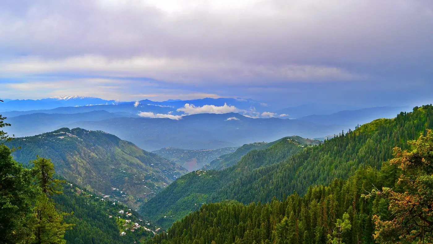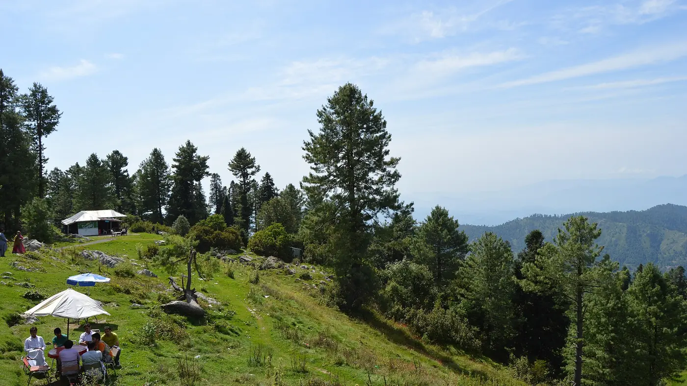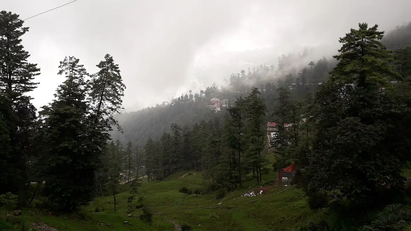
Abbottabad to Nathia Gali is about 32 to 37 km, depending on where in the city you start, and takes roughly an hour to an hour and a half by road. This is the northern approach to the Galiyat, climbing east out of Abbottabad through Harnoi and Bagnotar rather than up from Murree, and it is the natural way in from Peshawar, Mansehra or anywhere on the Hazara side.
This guide covers the route stage by stage, how long it takes, the bends and viewpoints along the way, and when it is worth choosing over the Murree road.
| At a glance | |
|---|---|
| Distance | About 32 to 37 km |
| Driving time | 1 to 1.5 hours |
| Route | Abbottabad, Harnoi, Bagnotar, then on to Nathia Gali |
| Road | Paved throughout; steep, narrow and bending above Harnoi |
| Fuel | Fill up in Abbottabad; nothing reliable beyond it |
| Useful when | Murree is jammed or snowbound, or you are coming from Peshawar |
The route out of Abbottabad
The road leaves Abbottabad heading north-east and climbs steadily into the hills, following what is signed as the Abbottabad–Murree road. It passes through a string of small settlements before joining the main Galiyat ridge road at Nathia Gali.
- Abbottabad to Harnoi, the first stretch. Harnoi sits at the confluence of the Harno and Birengali rivers, north-east of the city on the main road, and marks the point where the route starts to climb in earnest.
- Harnoi to Bagnotar, about 18 km from Abbottabad. Bagnotar, at around 1,880 m, is a scattered settlement along the road rather than a single bazaar. The stretch here runs through pine forest, with the road narrowing and bending more as it gains height.
- Bagnotar to Nathia Gali, the final climb. The road keeps climbing through forest until it meets the Nathia Gali bazaar, arriving from the opposite direction to traffic coming from Murree.
Along the way, keep an eye out for waterfalls fed by the Harno river system in the monsoon and after snowmelt; several small ones are visible from the road in a wet spring, though none are signposted attractions in their own right.
How long does it take?
In normal traffic, allow an hour to an hour and a half for the climb, a little longer than the distance suggests because the road is narrow and the bends increase the closer you get to Nathia Gali. Midweek in good weather, you can do it in a little over an hour. At weekends, and especially on the first clear Sunday after snowfall, expect delays in the last few kilometres into the bazaar, where parked cars narrow the road.
From Islamabad, this route means joining the M-1 towards Peshawar, turning north onto the Hazara Motorway at the Burhan interchange, and leaving it at Havelian for Abbottabad, before starting the climb described above. Our guide to the drive from Islamabad to Nathia Gali sets out that full route and compares it with going via Murree.
Driving the bends safely
This is a mountain road with a steady, sustained climb rather than the short sharp bends of the Murree ridge road, but it deserves the same care:
- Check brakes and tyres before you start, especially if you have just driven a long way to reach Abbottabad.
- Use a low gear on the way down on the return trip rather than riding the brakes on the long descent.
- Fill up in Abbottabad. There is no reliable fuel stop on the climb itself.
- Watch for buses and vans on the narrower stretches near Bagnotar, where the road has little room to spare on blind corners.
When the Abbottabad route makes more sense
Coming from Murree is usually the shorter way in for anyone starting in Islamabad or Lahore. The Abbottabad approach earns its place in a few situations:
- You are coming from Peshawar, Mansehra or anywhere on the Hazara Motorway corridor, where this is simply the natural direction.
- Murree is jammed, on a holiday weekend or after snow, and you would rather avoid it entirely.
- You are combining the trip with Abbottabad itself or with Thandiani, which is reached by its own road from the city. Our Thandiani guide covers that separate hilltop.
- You want to loop the Galiyat, driving up one way and back the other, taking in both Changla Gali on the Murree side and the Harnoi valley on this one.
Winter and monsoon
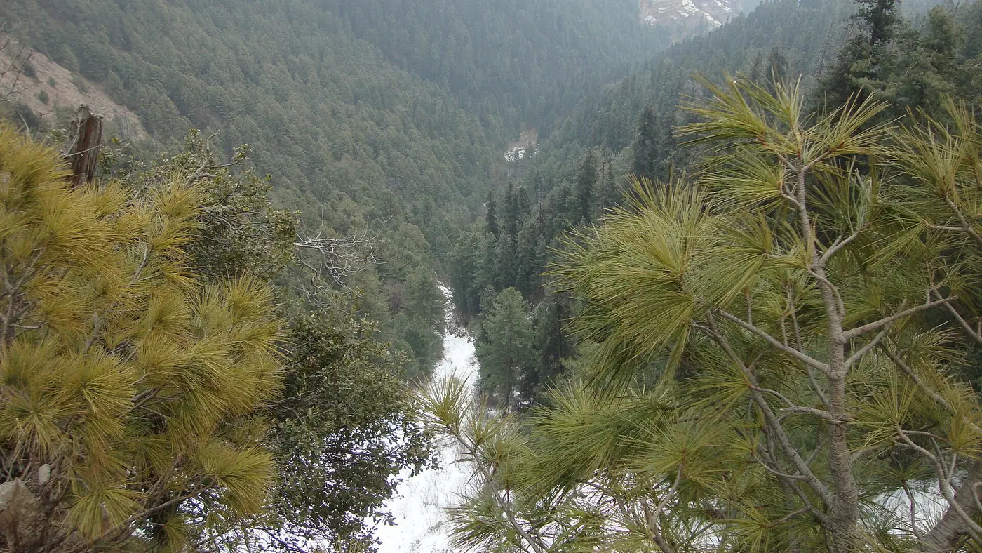
Snow closes this road for days at a time in a hard winter, and the authorities have stopped tourist traffic at Harno during storms in past years, the same way they do at Barian on the Murree side. In the monsoon, heavy rain can bring down landslides on the steeper stretches near Bagnotar. Check the road locally in Abbottabad before you set off, and see our guide to driving in Galiyat snow for what to carry if you are travelling between December and March.
Is this the right route for you?
If you are already in Abbottabad, or coming from Peshawar or Mansehra, yes, this is simply the road you take. If you are coming from Islamabad or Lahore, it is usually the longer of the two options on an ordinary day, and worth choosing mainly as an escape from Murree traffic or as one leg of a loop. Our Galiyat guide compares the hill stations you will reach at the top, and if you would like help planning the route, send us your dates.
Frequently asked questions
How far is Nathia Gali from Abbottabad?
About 32 to 37 km by road, through Harnoi and Bagnotar. Figures vary slightly depending on the starting point in Abbottabad.
How long does the drive from Abbottabad to Nathia Gali take?
Roughly an hour to an hour and a half in normal traffic, a little longer at weekends and after snowfall.
Which is better, the Abbottabad or the Murree route to Nathia Gali?
The Murree route is usually shorter from Islamabad or Lahore. The Abbottabad route is the natural choice from Peshawar or Mansehra, and useful whenever Murree is jammed or snowbound.
Is the Abbottabad to Nathia Gali road paved all the way?
Yes, though it is narrow and steep in places, particularly above Harnoi. An ordinary car manages it in dry weather.
Can I combine this route with a visit to Thandiani?
Yes. Thandiani is reached by its own road from Abbottabad, so it fits naturally either before or after the climb to Nathia Gali.